
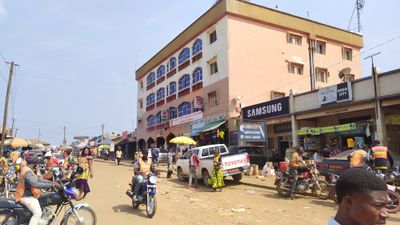
Obala, commune of Cameroon
Location: Lekié
Elevation above the sea: 539 m
Website: http://cvuc.cm/national/index.php/fr/carte-communale/region-du-centre/90-association/carte-administrative/279-ngaoundal-18
GPS coordinates: 4.16917,11.53583
Latest update: March 22, 2025 12:37
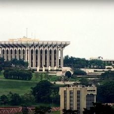
Palais de l'Unité
28.8 km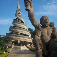
Reunification Monument
35.4 km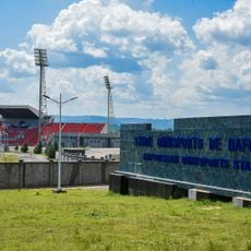
Bafoussam omnisports stadium
182.4 km
International Relations Institute of Cameroon
35.3 km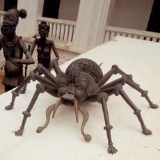
National Museum of Cameroon
34.4 km
Edea Hydroelectric Power Station
161.3 km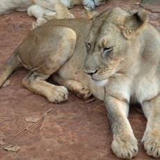
Mefou National Park
49.6 km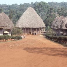
Chiefdom of Bandjoun
181.3 km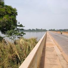
Pont d'Ébebda
37.5 km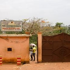
Mvog-Betsi Zoo
34.3 km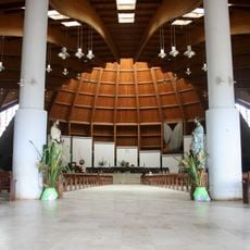
Basilique Marie-Reine-des-Apôtres
36.5 km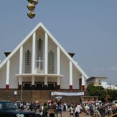
Our Lady of Victories Cathedral, Yaoundé
34.1 km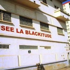
Blackitude Museum
34 km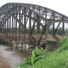
Japoma Bridge
161.7 km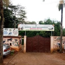
Jardin Zoo-Botanique de Mvog-Betsi
34.3 km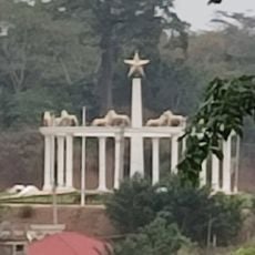
Monument de l'Unité
29 km
Bois Saint-Anastasie
33.3 km
Grotte Fovu
182.1 km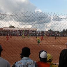
Stade Municipal de Bangangté
155.1 km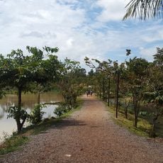
Eco Park
42.9 km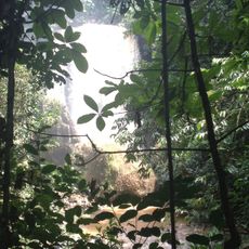
Chutes de Bamena
163.8 km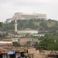
Grande mosquée de Yaoundé
32.5 km
Mont Nlonako Wildlife Reserve
179.5 km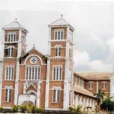
Cathedral of St. Ann and St. Joachim in Ebolowa
144.6 km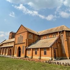
Holy Rosary Cathedral in Mbalmayo
72.8 km
Musée Ethnographique et d'Histoire des Peuples de la Forêt d'Afrique Centrale
33.2 km
Yaounde Central Market
34 km
Edea cathedral
163.1 kmReviews
Visited this place? Tap the stars to rate it and share your experience / photos with the community! Try now! You can cancel it anytime.
Discover hidden gems everywhere you go!
From secret cafés to breathtaking viewpoints, skip the crowded tourist spots and find places that match your style. Our app makes it easy with voice search, smart filtering, route optimization, and insider tips from travelers worldwide. Download now for the complete mobile experience.

A unique approach to discovering new places❞
— Le Figaro
All the places worth exploring❞
— France Info
A tailor-made excursion in just a few clicks❞
— 20 Minutes