
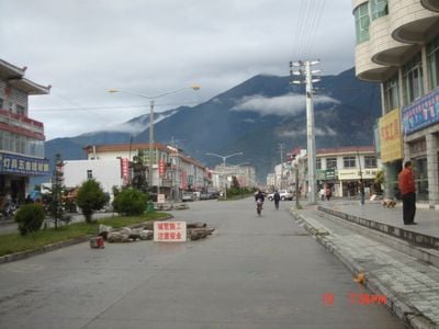
Bayi, subdistrict in Tibet Autonomous Region, People's Republic of China
Location: Bayi District
Elevation above the sea: 2,994 m
Website: http://www.tibetsti.gov.cn/xianyu/byz.htm
Website: http://tibetsti.gov.cn/xianyu/byz.htm
GPS coordinates: 29.67394,94.35961
Latest update: March 25, 2025 11:52

Bogibeel Bridge
255.2 km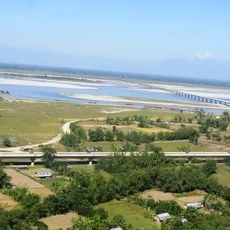
Dr. Bhupen Hazarika Bridge
245.1 km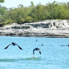
Dibru-Saikhowa National Park
244.8 km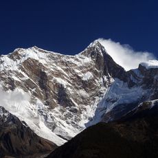
Namcha Barwa
67.4 km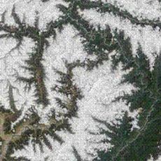
Yarlung Tsangpo Grand Canyon
61.9 km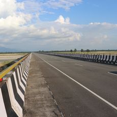
Dibang River Bridge
214.6 km
Mouling National Park
131 km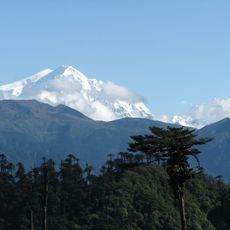
Kangto
268.9 km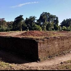
Bhismaknagar ruins
241.8 km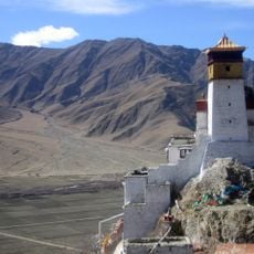
Yungbulakang Palace
254.9 km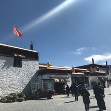
Tradruk Temple
256.5 km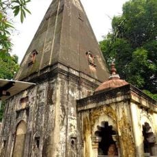
Basudev Than
258.2 km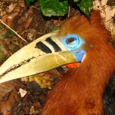
Mehao Wildlife Sanctuary
228.5 km
Valley of the Kings
269.7 km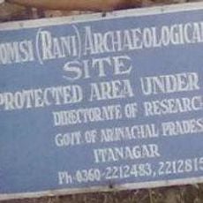
Gomsi
202.1 km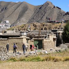
Taktsé Castle
269.7 km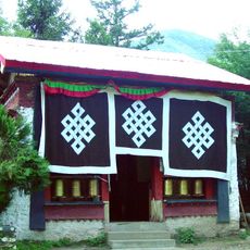
Tsozong Gongba Monastery
56.8 km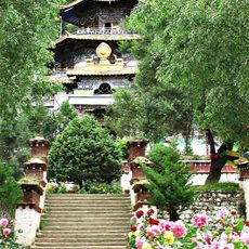
Lamaling Monastery
24.1 km
Bairiga
235.9 km
Mila Mountain
193.4 km
Densatil Monastery
235 km
Chekha
242.1 km
Chambang
218.6 km
Riwo Dechen monastery
270 km
Dzong de Nédong
252.9 km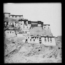
Rechung Puk
270 km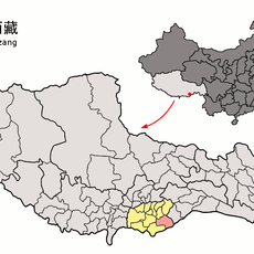
Dragor-Kloster
238.7 km
Mini zoo Roing
223 kmReviews
Visited this place? Tap the stars to rate it and share your experience / photos with the community! Try now! You can cancel it anytime.
Discover hidden gems everywhere you go!
From secret cafés to breathtaking viewpoints, skip the crowded tourist spots and find places that match your style. Our app makes it easy with voice search, smart filtering, route optimization, and insider tips from travelers worldwide. Download now for the complete mobile experience.

A unique approach to discovering new places❞
— Le Figaro
All the places worth exploring❞
— France Info
A tailor-made excursion in just a few clicks❞
— 20 Minutes