Kangmar County, county
Location: Xigazê
Website: http://xzkm.gov.cn
GPS coordinates: 28.55908,89.67904
Latest update: March 6, 2025 03:59
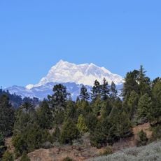
Gangkhar Puensum
95 km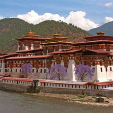
Punakha Dzong
110.3 km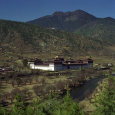
Tashichho Dzong
119.1 km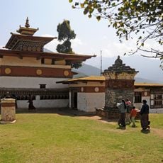
Chimi Lhakhang
116.5 km
Dechencholing Palace
115.3 km
Karjiang
100.5 km
Jigme Dorji National Park
73.9 km
Kula Kangri
98.8 km
Gyantse Dzong
15.7 km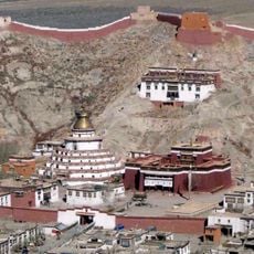
Palcho Monastery
41.4 km
Tongshanjiabu
49.6 km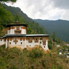
Tango Monastery
107.6 km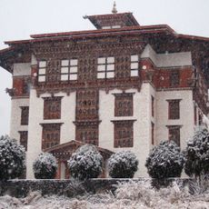
National Library of Bhutan
119.8 km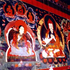
Ralung Monastery
51.3 km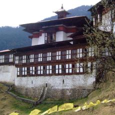
Chagri Monastery
107 km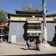
Shalu Monastery
92.1 km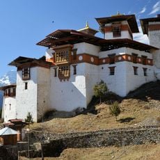
Gasa Dzong
73.1 km
Kangphu Kang I
59.5 km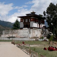
Dechen Phodrang Monastery
117.9 km
Drongtse Monastery
55.8 km
Lingzhi Yügyal Dzong
81.8 km
Nalanda Buddhist Institute, Bhutan
114.2 km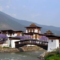
Punakha Cantilever Bridge
110.1 km
Lingqu, Tibet
88.1 km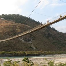
Category:Punakha Suspension Bridge
109.6 km
Phari Dzong
103.2 km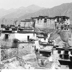
Dzong de Rinpung
79.8 km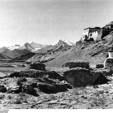
Nangkartse Dzong
83.7 kmReviews
Visited this place? Tap the stars to rate it and share your experience / photos with the community! Try now! You can cancel it anytime.
Discover hidden gems everywhere you go!
From secret cafés to breathtaking viewpoints, skip the crowded tourist spots and find places that match your style. Our app makes it easy with voice search, smart filtering, route optimization, and insider tips from travelers worldwide. Download now for the complete mobile experience.

A unique approach to discovering new places❞
— Le Figaro
All the places worth exploring❞
— France Info
A tailor-made excursion in just a few clicks❞
— 20 Minutes