Junggar Basin, Sedimentary basin in Xinjiang, China
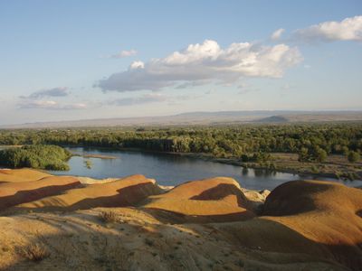
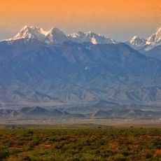
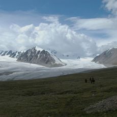
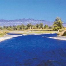
The Junggar Basin is a sedimentary basin in Xinjiang situated between the Altai Mountains to the north and the Tian Shan range to the south. The landscape forms a broad depression where layers of sedimentary rock rest upon older igneous and metamorphic foundations, creating a terrain that slopes gradually across elevations from 500 to 1000 meters.
The basin formed through geological processes beginning in the Permian period, accumulating thick layers of sediment over vast stretches of time. These deposits built up atop older volcanic and metamorphic rocks, gradually shaping the depression into its current structure.
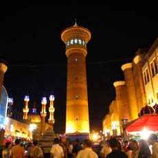
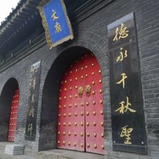
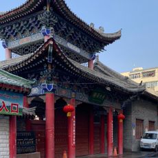
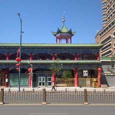
Multiple ethnic groups inhabit the region, including Uighurs, Turkic communities, and Mongol populations, while Han Chinese concentrate in industrial areas.
The region receives minimal precipitation, averaging between 150 to 300 millimeters yearly, while temperatures fluctuate dramatically across seasons. This dry climate means the landscape offers limited shade, so planning visits carefully and bringing protective gear is important.
The basin sits approximately 2,600 kilometers from the nearest ocean, making it one of the farthest places from any sea on Earth. This extreme remoteness from water contributes to the region's status as one of Asia's driest and most isolated areas.
The community of curious travelers
AroundUs brings together thousands of curated places, local tips, and hidden gems, enriched daily by 60,000 contributors worldwide.