Baima, township in Baxoi, Chamdo, Tibet, China
Location: Baxoi County
Elevation above the sea: 3,772 m
GPS coordinates: 30.06040,96.92592
Latest update: March 25, 2025 11:53
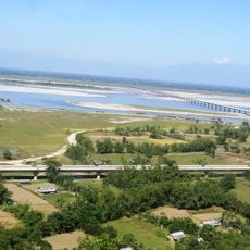
Dr. Bhupen Hazarika Bridge
279.7 km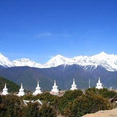
Meili Xue Shan
248.5 km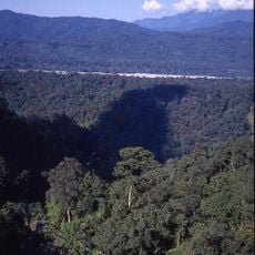
Namdapha National Park
279.9 km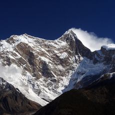
Namcha Barwa
186.9 km
Yarlung Tsangpo Grand Canyon
189.6 km
Hkakabo Razi
201.7 km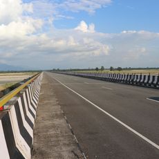
Dibang River Bridge
244 km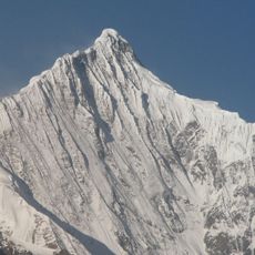
Kawagarbo
248.4 km
Mouling National Park
258.8 km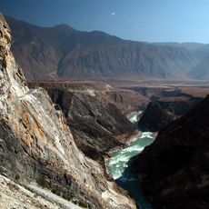
Three Parallel Rivers National Park
280.9 km
Kamlang Wildlife Sanctuary
270.8 km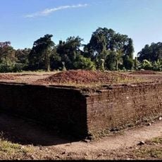
Bhismaknagar ruins
241.3 km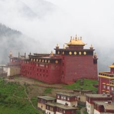
Palpung Monastery
251.4 km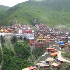
Katok Monastery
238 km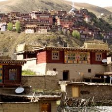
Dzongsar Monastery
262.6 km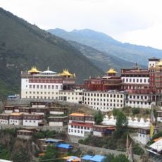
Palyul
222.9 km
Mehao Wildlife Sanctuary
232.5 km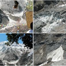
Mingyong Glacier
251 km
Derge Parkhang
250.5 km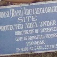
Gomsi
270.6 km
Riwoche Monastery
151.4 km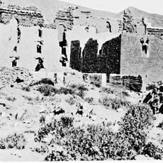
Galden Jampaling Monastery
122.9 km
Se Qu
130.9 km
Karma Gon Monastery
197.1 km
Lamaling Monastery
253.9 km
Bairiga
101.4 km
Gonchen Monastery
250.6 km
Chörten der dreißig Generäle des Königs Gesar von Ling und Tana-Tempel
237.3 kmReviews
Visited this place? Tap the stars to rate it and share your experience / photos with the community! Try now! You can cancel it anytime.
Discover hidden gems everywhere you go!
From secret cafés to breathtaking viewpoints, skip the crowded tourist spots and find places that match your style. Our app makes it easy with voice search, smart filtering, route optimization, and insider tips from travelers worldwide. Download now for the complete mobile experience.

A unique approach to discovering new places❞
— Le Figaro
All the places worth exploring❞
— France Info
A tailor-made excursion in just a few clicks❞
— 20 Minutes