Chest opened
+${chestReward.xp} XP
Explorer
NOUVEAU ×${chestReward.collectible.quantity}
tapez pour fermer
Chest locked

Open chests in the app

Around Us is built for your phone — chests unlock when you walk, explore and capture nearby places.

Enable Location

We need your location to show you interesting places around you

Discover nearby places

Find interesting locations and hidden gems around you

Precise directions

Get accurate directions and distances to places

Your location is never shared with other users. It's only used when you tap the location button.

Tai Po Road

Log in to your account

Start exploring — it's free

Trusted by 72,947 travelers worldwide

Continue with Google
Continue with Apple
or

We will send you a code to connect

By continuing, you accept our Terms and Conditions and our Privacy Policy

Check your inbox

We've sent a pincode in your inbox. Please enter the code below.

Tai Po Road
Discussion Reviews 1 Photos
16.2k Popularity

Tai Po Road, multi-section road in mainland Hong Kong linking Tai Po and Kowloon

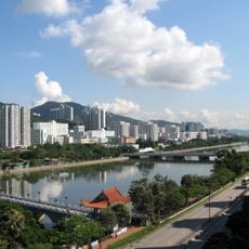
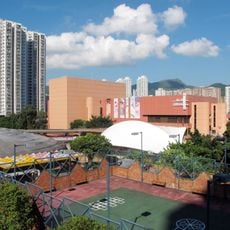
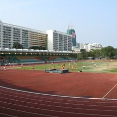
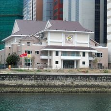
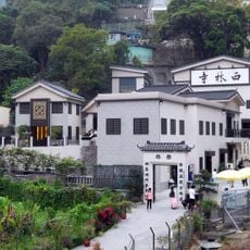
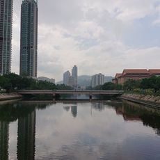
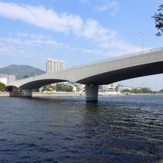
Tai Po Road is a major route that runs from Sham Shui Po in Kowloon through Sha Tin to Tai Po in the New Territories, with multiple lanes in each direction. The road passes through diverse landscapes including residential neighborhoods, shopping districts, hills, and open spaces, creating a varied streetscape along its length.

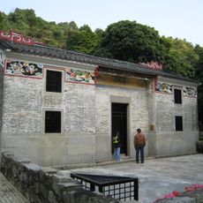
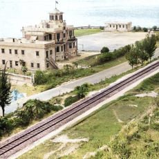
Tai Po Road was built in 1902 as one of the first major roads to connect the New Territories with the rest of Hong Kong. Originally called Frontier Road, it served as the main route between Kowloon and the northern areas until the Lion Rock Tunnel opened in 1967.

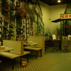
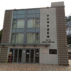
Tai Po Road connects neighborhoods with different characters, from busy commercial districts in Sham Shui Po and Sha Tin to quieter residential areas in the north. Local commuters and residents rely on this route as part of their daily routine, making it a vital artery in how people move through these different parts of Hong Kong.

Traffic is particularly heavy during rush hours, so allow extra time for travel and expect delays at busy intersections. Be aware of frequent traffic lights throughout the route and plan your journey with flexibility to accommodate the unpredictable flow of vehicles.

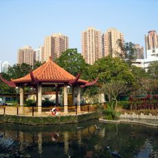
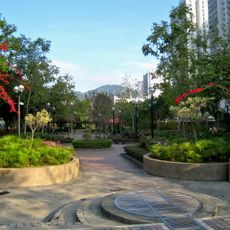
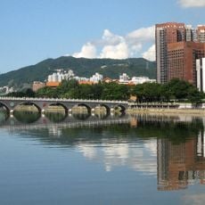
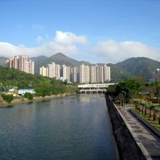
The road showcases a striking contrast between bustling commercial zones like Sha Tin with shopping centers and quieter northern sections near Beacon Hill and Golden Hill where parks and walking trails appear. This mix reveals how close nature and urban development sit side by side in Hong Kong.

The community of curious travelers

AroundUs brings together thousands of curated places, local tips, and hidden gems, enriched daily by 60,000 contributors worldwide.

Start exploring
Location
Location
Location
Location
Location
Inception
1902
GPS coordinates
22.38890,114.19400
Latest update
February 19, 2026 22:40
Reviews
Share your experience

No review yet

Discussions
Start a discussion...

No discussion yet

« Tai Po Road - multi-section road in mainland Hong Kong linking Tai Po and Kowloon » is provided by Around Us (aroundus.com). Images and texts are derived from Wikimedia project under a Creative Commons license. You are allowed to copy, distribute, and modify copies of this page, under the conditions set by the license, as long as this note is clearly visible.

Discover hidden gems everywhere you go!

From secret cafés to breathtaking viewpoints, skip the crowded tourist spots and find places that match your style. Our app makes it easy with voice search, smart filtering, route optimization, and insider tips from travelers worldwide. Download now for the complete mobile experience.

Around Us App Screenshot

A unique approach to discovering new places

Le Figaro

All the places worth exploring

France Info

A tailor-made excursion in just a few clicks

20 Minutes

Around Us
Travel Guide & Maps
Download

Send to your phone

QR Code
1

Open the camera app on your mobile.

2

Point at the QR code with your camera. A notification will appear.

3

Tap the notification to open the link.