Enable Location

We need your location to show you interesting places around you

Discover nearby places

Find interesting locations and hidden gems around you

Precise directions

Get accurate directions and distances to places

Your location is never shared with other users. It's only used when you tap the location button.

King's Road

Log in to your account

Start exploring — it's free

Trusted by 61,556 travelers worldwide

Continue with Google
Continue with Apple
or

We will send you a code to connect

By continuing, you accept our Terms and Conditions and our Privacy Policy

Check your inbox

We've sent a pincode in your inbox. Please enter the code below.

King's Road

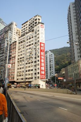
King's Road, Main street in Eastern District, Hong Kong, China.

Description

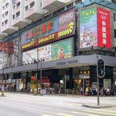
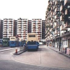
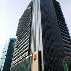
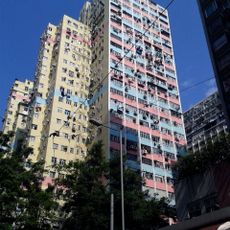
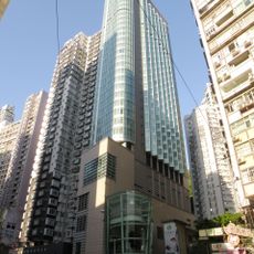
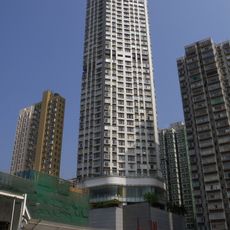
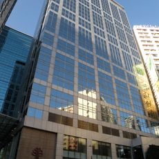
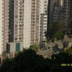
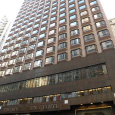
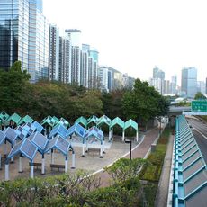
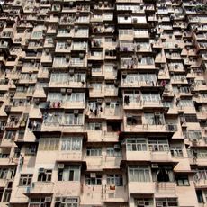
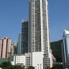
King's Road is a major east-west thoroughfare that extends approximately 2.6 miles (4.2 kilometers) from Causeway Bay to Sai Wan Ho, passing through densely populated residential and commercial neighborhoods with high-rise buildings, shopping centers, and local markets lining both sides of the wide lanes.

History

Originally part of Shaukiwan Road, this street was renamed in 1935 to commemorate the Silver Jubilee of King George V's reign, reflecting Hong Kong's colonial history and the British tradition of naming major routes after monarchs and important royal events during that administrative period.

Culture

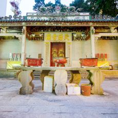
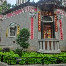
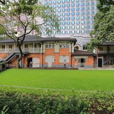
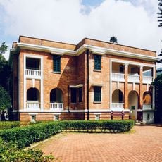
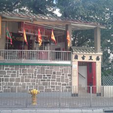
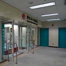
Known locally by its Chinese name 英皇道, which translates to Royal Emperor Road, this street preserves its colonial heritage while hosting traditional sites including the historic Sunbeam Theatre, Grade III heritage Quarry Bay School from the 1920s, and numerous temples that reflect the city's cultural evolution.

Practical

The thoroughfare is served by five MTR stations including Tin Hau, Fortress Hill, North Point, Quarry Bay, and Tai Koo, with Hong Kong Tramways running along its entire length and dedicated bus lanes providing convenient transportation options for residents and visitors traveling across the eastern districts.

Did you know?

Before the construction of the Island Eastern Corridor and the MTR Island line in the 1980s, city planners created underground tunnels beneath this road specifically to address severe traffic congestion problems and improve the flow of vehicles along this heavily used urban artery.

Location
GPS coordinates
22.29155,114.20796
Latest update
November 28, 2025 15:19

AroundUs brings together thousands of curated places, local tips, and hidden gems, enriched daily by 60,000 contributors worldwide. Discover all places nearby (Eastern District).

« King's Road - Main street in Eastern District, Hong Kong, China » is provided by Around Us (aroundus.com). Images and texts are derived from Wikimedia project under a Creative Commons license. You are allowed to copy, distribute, and modify copies of this page, under the conditions set by the license, as long as this note is clearly visible.

Discover hidden gems everywhere you go!

From secret cafés to breathtaking viewpoints, skip the crowded tourist spots and find places that match your style. Our app makes it easy with voice search, smart filtering, route optimization, and insider tips from travelers worldwide. Download now for the complete mobile experience.

Around Us App Screenshot

A unique approach to discovering new places

Le Figaro

All the places worth exploring

France Info

A tailor-made excursion in just a few clicks

20 Minutes

Around Us
Travel Guide & Maps
Download

Send to your phone

QR Code
1

Open the camera app on your mobile.

2

Point at the QR code with your camera. A notification will appear.

3

Tap the notification to open the link.