Three Gorges Reservoir Region, body of water
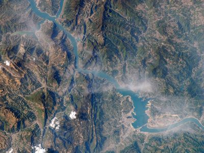
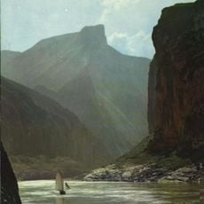
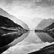
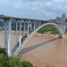
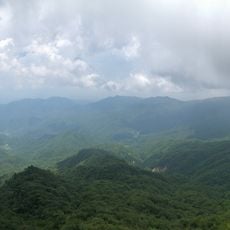
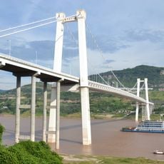
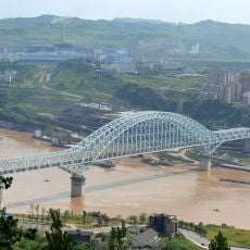
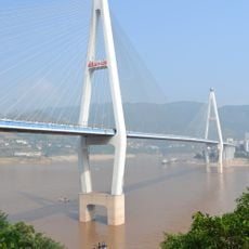
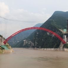
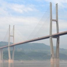
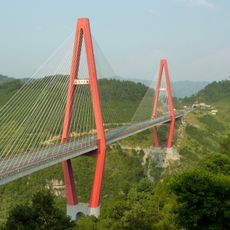
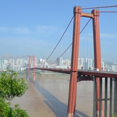
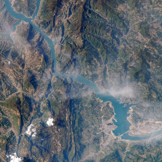
The Three Gorges Reservoir is a large body of water in China surrounded by steep mountains that rise from forested, hilly terrain. The region comprises a main waterway with numerous side arms, coves, and shoreline areas that vary from rocky cliffs to gentler slopes and flatter banks.
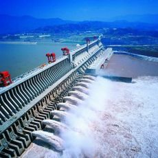
The reservoir was created in the early 2000s when a major dam was built across one of China's longest rivers, fundamentally reshaping the landscape. The construction led to the flooding of valleys and the relocation of many inhabitants to newly built towns and villages in the surrounding areas.
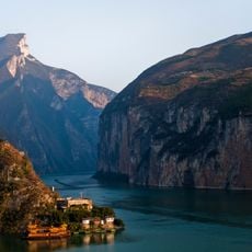
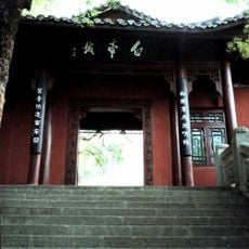
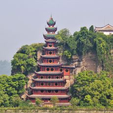
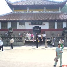
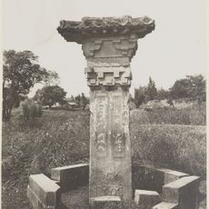
The reservoir's name comes from the Three Gorges, the 162-km stretch of the Yangtze between Sandouping in Yichang and Baidicheng in Fengjie. Along the banks visitors can stop at the Qu Yuan Temple in Zigui, the Zhaojun Home Village in Xingshan, the Shibao Stockade in Zhong County and the ghost town of Fengdu. The reservoir region covers 25 county-level divisions of Chongqing and Hubei.
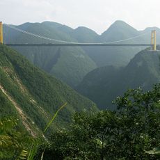
The reservoir stretches 667 km along the Yangtze from Jiangjin District in Chongqing to Yichang in Hubei, so plan travel between these two ends rather than a single base. The valley below 500 m averages 17–19 °C with 300–340 frost-free days a year and about 1,100 mm of rain, so carry rain gear. Mountainous terrain covers 74% of the region, leaving little flat ground along the banks.
The reservoir's lake stretches about 600 km behind the dam and holds 39.3 km³ of water; its surface covers 1,084 km², and the water level can vary by up to 113 m. Building the dam and power station consumed 28 million m³ of concrete. Filling the reservoir displaced roughly 1.3 million people.
The community of curious travelers
AroundUs brings together thousands of curated places, local tips, and hidden gems, enriched daily by 94,199 contributors worldwide.