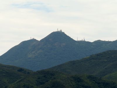
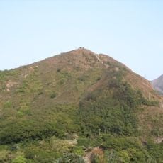
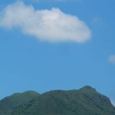
Tate's Cairn, Mountain summit in Sha Tin District, Hong Kong.
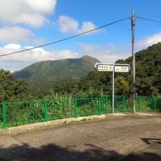
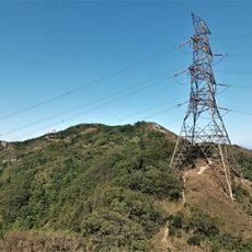
Tate's Cairn is a 577-meter peak along the Kowloon Ridge within Ma On Shan Country Park, offering views across surrounding mountains. The terrain features steep slopes covered with trees and shrubs, and from the summit you can see across multiple mountain ranges.
The mountain first appeared on colonial maps during the 1860s and was named after George Passman Tate, a surveyor who mapped Hong Kong in 1899. This early cartographic work was part of British efforts to survey the newly acquired territory.
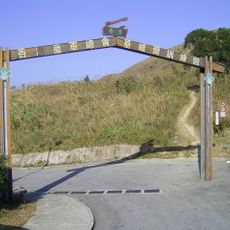
Locals call this summit Tai Lo Shan or Big Brother Mountain, and it marks a transition point between two sections of the MacLehose Trail. The mountain serves as a meeting point where hikers change directions on their longer journeys.
The summit is accessible via Sha Tin Pass Road, with MTR service to Wong Tai Sin station and minibus 18M providing access to the trail. The route is popular on weekends and clear days, so starting early helps avoid crowds.
A weather observatory sits at the summit, recording temperature and rainfall data continuously over many years to track local climate patterns. This gives the peak scientific importance alongside its role as a hiking destination.
The community of curious travelers
AroundUs brings together thousands of curated places, local tips, and hidden gems, enriched daily by 60,000 contributors worldwide.