
广州路街道, Straßenviertel in der Volksrepublik China
Location: Qingjiangpu District
GPS coordinates: 33.60520,119.02509
Latest update: May 13, 2025 03:10
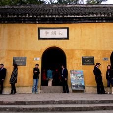
Daming temple
136.5 km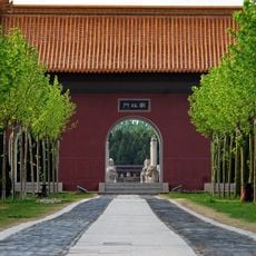
Ming Zuling
77.1 km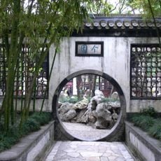
Geyuan
139.4 km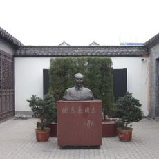
Former residence of Zhou Enlai
15 km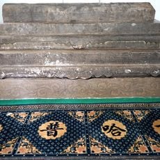
Tomb of Puhaddin
140.2 km
Choe Chiwon Museum
136.5 km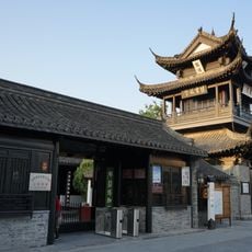
Yucheng Postal Stop
100.2 km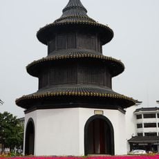
Wenchang Pavilion
139.7 km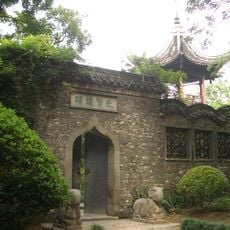
Crane Mosque
140.2 km
Zhongyun (baranggay sa Republikang Popular sa Tsina, Jiangsu Sheng)
123.6 km
Engraved petroglyphs from Lianyungang
104.1 km
Yangzhou Museum
138.7 km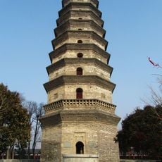
海清寺塔
118.1 km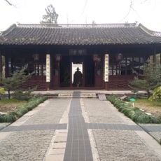
史可法纪念馆
139.2 km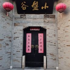
小盘谷
140.9 km
Longqiuzhuang
97.9 km
Sacred Heart Cathedral of Yangzhou
140.9 km
吴氏宅第
140.3 km
Gaoyou Pawnshop
97.8 km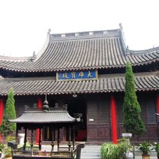
Jingzhong Temple
140.2 km
Daquan Shuiku
123.7 km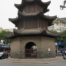
Siwang Pavilion
139.4 km
Twenty four bridge
137.8 km
Cuiyuan Street Church
140 km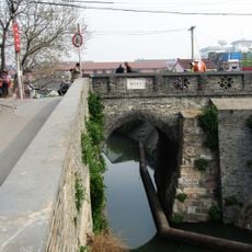
Dadongmen Bridge
139.5 km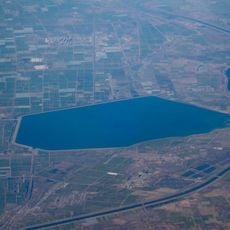
庆安水库
116.9 km
林东水库
132.8 km
跃进水库
93.1 kmReviews
Visited this place? Tap the stars to rate it and share your experience / photos with the community! Try now! You can cancel it anytime.
Discover hidden gems everywhere you go!
From secret cafés to breathtaking viewpoints, skip the crowded tourist spots and find places that match your style. Our app makes it easy with voice search, smart filtering, route optimization, and insider tips from travelers worldwide. Download now for the complete mobile experience.

A unique approach to discovering new places❞
— Le Figaro
All the places worth exploring❞
— France Info
A tailor-made excursion in just a few clicks❞
— 20 Minutes