Huangtudian, gemeente in Dingcheng, Volksrepubliek China
Location: Dingcheng District
GPS coordinates: 28.74231,111.66516
Latest update: March 11, 2025 20:22
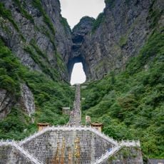
Tianmen Mountain
120.6 km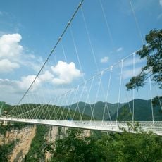
Zhangjiajie Glass Bridge
119.1 km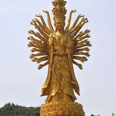
Guishan Guanyin of the Thousand Hands and Eyes
68.6 km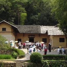
Mao Zedong's Former Residence
123.3 km
Dishui Cave
120 km
Chengtoushan
105.8 km
Miyin Temple
69.7 km
Tanheli site
78.3 km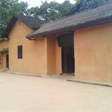
Liu Shaoqi's Former Residence
124.4 km
Tseng Kuo-fan's Former Residence
123.5 km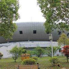
Yiyang Stadium
70.3 km
White Deer Temple
68.2 km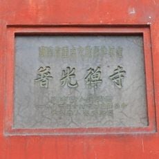
Puguang Temple
122.9 km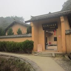
He Shuheng's Former Residence
85.3 km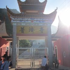
Puji Temple (Ningxiang County)
89.1 km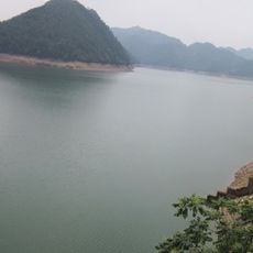
Huangcai Reservoir
76.4 km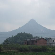
Fusi Mountain
91.2 km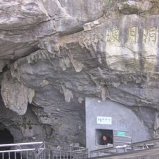
Boyue Cave
116.6 km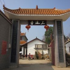
Shangliu Temple (Ningxiang County)
97 km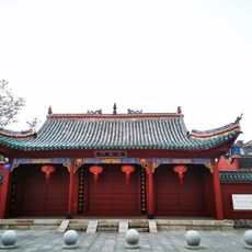
Xiangyin Confucius Temple
118.5 km
Bai Yun Temple (Ningxiang County)
96.4 km
Furong Mountain
89.1 km
Former Residence of Xie Juezai
82.9 km
Tianping Reservoir
89.9 km
Shima Park
116.6 km
Jiangya Reservoir
126.5 km
Huitong Covered Bridge
83.2 km
Nanquan Temple
119 kmReviews
Visited this place? Tap the stars to rate it and share your experience / photos with the community! Try now! You can cancel it anytime.
Discover hidden gems everywhere you go!
From secret cafés to breathtaking viewpoints, skip the crowded tourist spots and find places that match your style. Our app makes it easy with voice search, smart filtering, route optimization, and insider tips from travelers worldwide. Download now for the complete mobile experience.

A unique approach to discovering new places❞
— Le Figaro
All the places worth exploring❞
— France Info
A tailor-made excursion in just a few clicks❞
— 20 Minutes