
側嶺郷, Gemeinde in China
Location: Jinchengjiang District
GPS coordinates: 24.83034,107.77756
Latest update: March 20, 2025 05:26
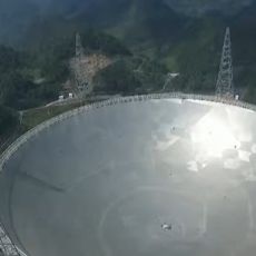
Five-hundred-meter Aperture Spherical Telescope
130.3 km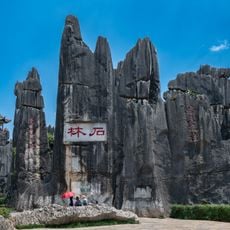
South China Karst
47.8 km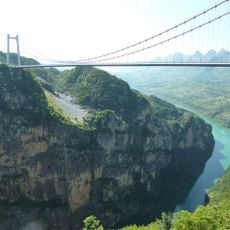
Beipan River Guanxing Highway Bridge
229 km
Chengyang Bridge
221.8 km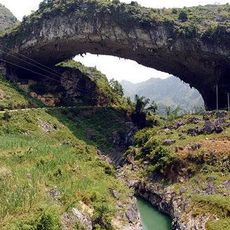
Xianren Bridge
100.1 km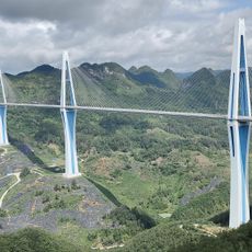
Pingtang Bridge
128.6 km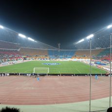
Guiyang Olympic Sports Center
231.4 km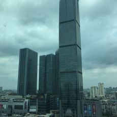
Diwang International Fortune Center
174.4 km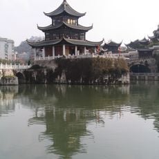
Jiaxiu Pavilion
221.5 km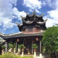
Wenchang Pavilion
222.2 km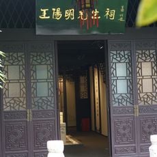
Wang Yangming Memorial Temple
222.4 km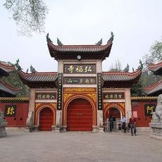
Hongfu Temple
224.8 km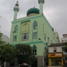
Nanning Mosque
230.6 km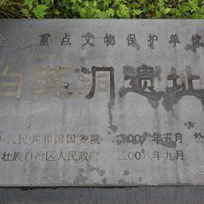
Bailiandong site
180.7 km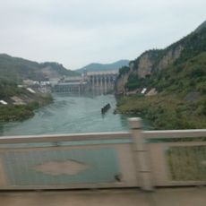
Yantan Dam
91.9 km
Former site of Lequnshe
174.9 km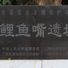
Liyuzui
176 km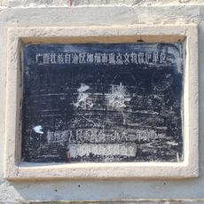
East Gate of Liuzhou
175.2 km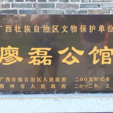
Liao Lei Gongguan
174.9 km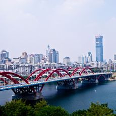
Wenhui Bridge
175.4 km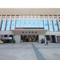
Liuzhou Museum
174.5 km
Former site of Nanyang Inn
174.8 km
Hujiangdong
177.3 km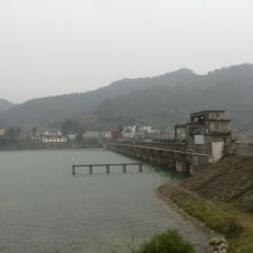
Mashi Reservoir
180.9 km
浮石水库
160.3 km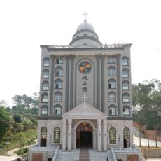
Cathedral of Our Lady of China
228 km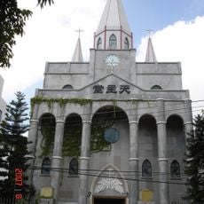
Église du Sacré-Cœur-de-Jésus de Nanning
228 km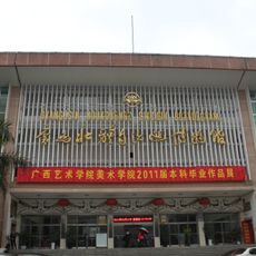
Guangxi Zhuang Autonomous Region Museum
231.5 kmReviews
Visited this place? Tap the stars to rate it and share your experience / photos with the community! Try now! You can cancel it anytime.
Discover hidden gems everywhere you go!
From secret cafés to breathtaking viewpoints, skip the crowded tourist spots and find places that match your style. Our app makes it easy with voice search, smart filtering, route optimization, and insider tips from travelers worldwide. Download now for the complete mobile experience.

A unique approach to discovering new places❞
— Le Figaro
All the places worth exploring❞
— France Info
A tailor-made excursion in just a few clicks❞
— 20 Minutes