Hellenthal, municipality in the Euskirchen district, in North Rhine-Westphalia, Germany
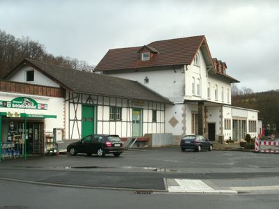
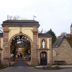
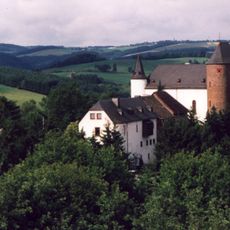
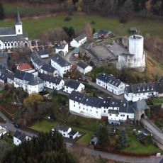
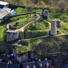
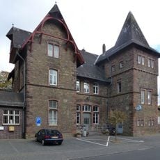
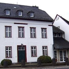
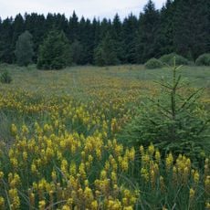
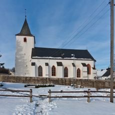
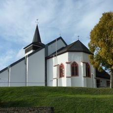
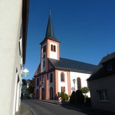
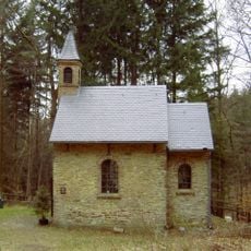
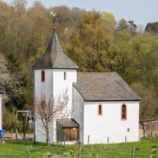
Hellenthal is a municipality in the Eifel region that spans across rolling, green hills and comprises several small villages. The area is defined by forests and meadows, with traditional stone buildings that characterize the landscape.
This municipality developed from several settlements that emerged over centuries in this Eifel region. Agriculture and later tourism shaped its growth.
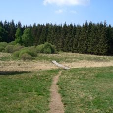
This area is suited for hiking, with various trails through forests and across hills suitable for different abilities. The best time to visit is outside winter months, when paths are more easily accessible.
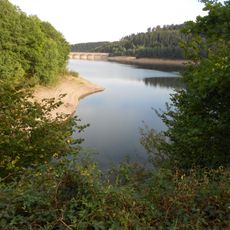
This area is notable for its clean streams and natural springs that flow through the Eifel, giving the region its water-rich character. This water-defined landscape sets it apart from other Eifel communities.
The community of curious travelers
AroundUs brings together thousands of curated places, local tips, and hidden gems, enriched daily by 60,000 contributors worldwide.