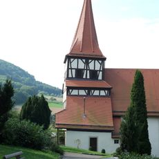
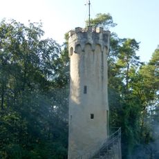
Hohenloher Ebene, Limestone plateau in Baden-Württemberg, Germany
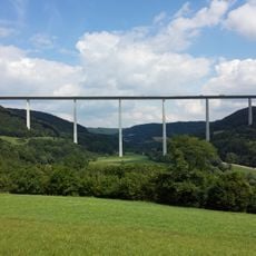
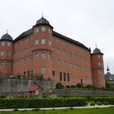
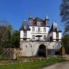
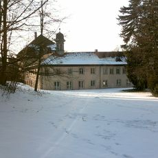
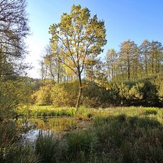
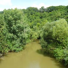
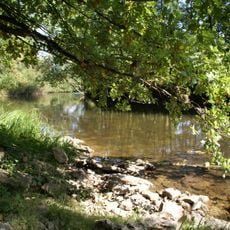
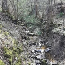
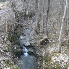
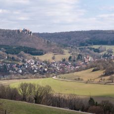
The Hohenloher Ebene is a limestone plateau in Baden-Württemberg that sits between 300 to 400 meters above sea level. Deep river valleys cut through its landscape, which is dominated by farmland and open fields that stretch across its surface.
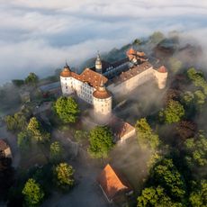
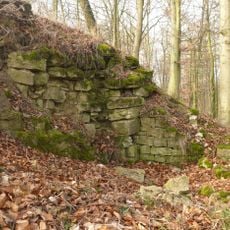
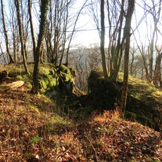
The limestone formations here developed around 195 to 225 million years ago during the Jurassic period. These geological structures later influenced where and how settlements developed across the region.
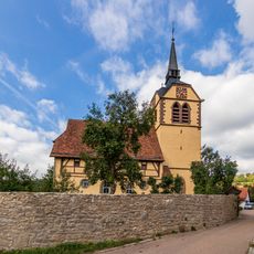
Agriculture shapes the landscape here, with farms working the fields as families have done for generations. This way of life gives the plateau its character and rhythm through the seasons.
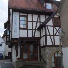
Regional trains connect to this plateau from major cities, with stations at Öhringen and Crailsheim providing access to walking trails. The open landscape and established paths make it easy to explore on foot or by bike.
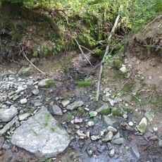
The plateau contains over 2,000 sinkholes formed as limestone dissolved beneath the surface. Below ground, the Fuchslabyrinth cave system winds through branching passages that extend more than 14 kilometers underground.
The community of curious travelers
AroundUs brings together thousands of curated places, local tips, and hidden gems, enriched daily by 60,000 contributors worldwide.