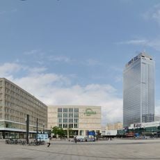
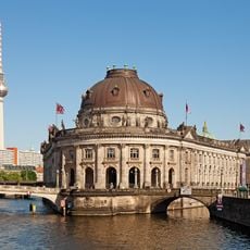
Berlin-Mitte, Central district in Berlin, Germany
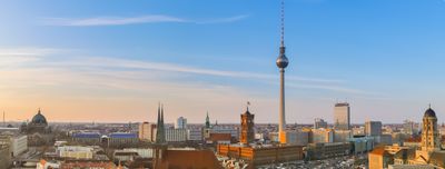
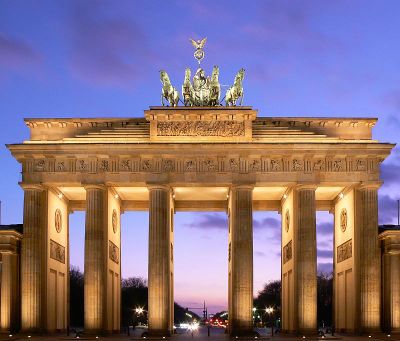
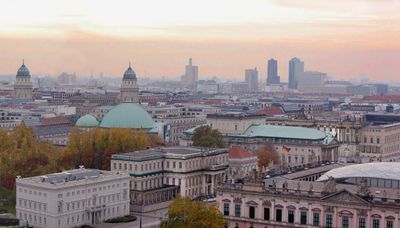
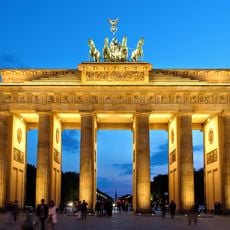
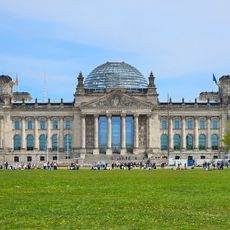
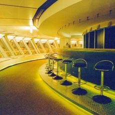
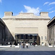
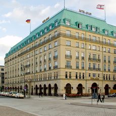
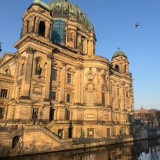
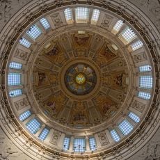
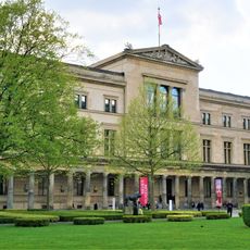
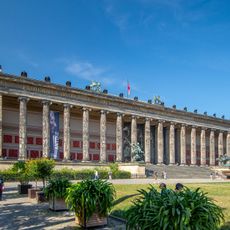
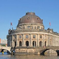
Berlin-Mitte is the central district in the heart of Berlin, stretching from the Brandenburg Gate through Museum Island to Alexanderplatz. Wide boulevards like Unter den Linden run through the area between the Reichstag and the historic core, where government buildings, museums, and parks meet in close proximity.
In the 13th century, a trading settlement formed along the Spree river, which later grew into the core of Berlin. After German division, the area became part of East Berlin and served as the political center of the GDR before becoming the seat of the federal government after reunification.
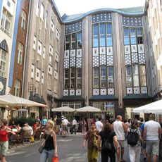
The area around Nikolaiviertel preserves the medieval layout of the original settlement, where narrow lanes wind between buildings reconstructed after the war. Visitors today find small shops and restaurants tucked into these streets, offering a sense of how the old trading quarter might have felt centuries ago.
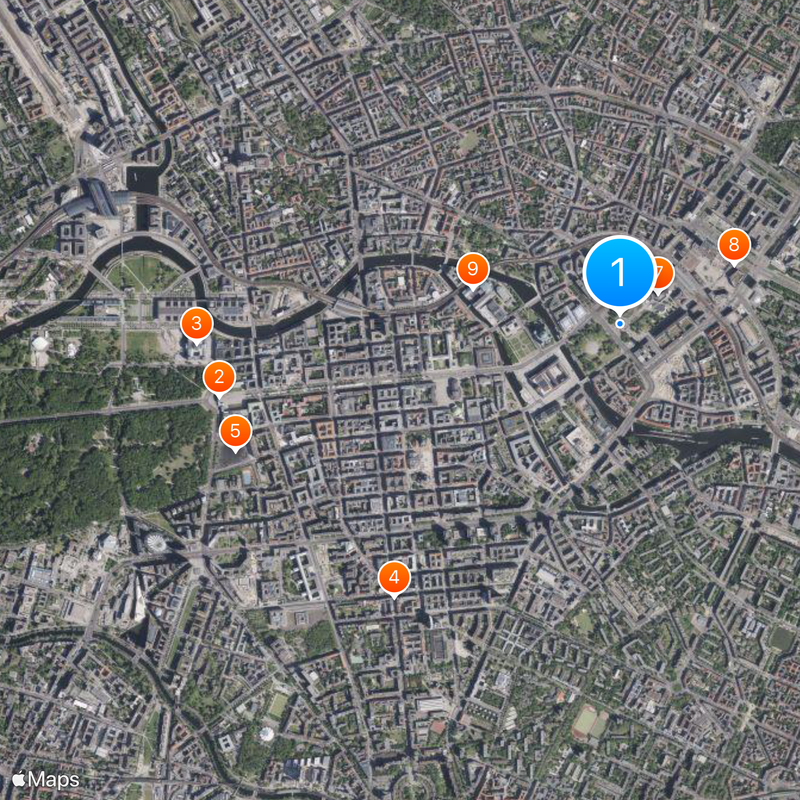
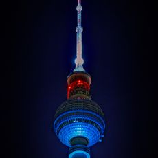
Several metro and rail lines cross the district, so most major sites are within walking distance or a short ride away. Many paths are accessible, and orientation is easy with large squares and towers serving as reference points.
The street lamps along Friedrichstraße glow with warm light because gas lamps from earlier times still operate here. A special team maintains these lamps regularly so they continue to function and shape the historic streetscape.
The community of curious travelers
AroundUs brings together thousands of curated places, local tips, and hidden gems, enriched daily by 60,000 contributors worldwide.