
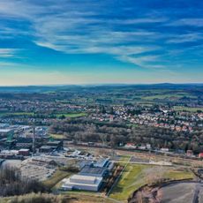
Nordwestlich Heinitz, protected landscape in Saarland, Germany
Location: Neunkirchen
Inception: 2017
GPS coordinates: 49.33110,7.12900
Latest update: March 18, 2025 00:56
Grube Reden
2.4 km
Altes Hüttenareal Neunkirchen
3.6 km
Kaiserlinde
1.6 km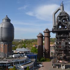
Steel plant in Neunkirchen
3.6 km
Hochbunker Neunkirchen
3.6 km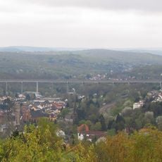
Sulzbachtalbrücke
3.5 km
Itzenplitz mine
3.6 km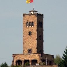
Galgenbergturm Spiesen
1.8 km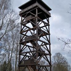
Hoferkopfturm
2 km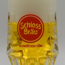
Schlossbrauerei Neunkirchen
3.8 km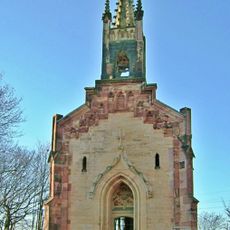
Stummsche Kapelle
3.5 km
Rechtsschutzsaal Bildstock
2.1 km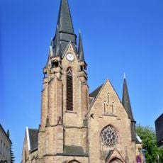
Pfarrkirche Herz Jesu
1.9 km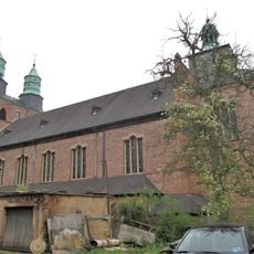
St. Laurentius
3.3 km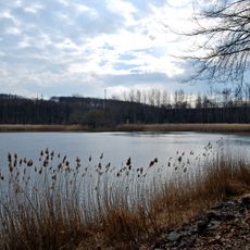
Saufang-Weiher
3.7 km
Evangelische Kirche Friedrichsthal
2.6 km
St. Josef (Bildstock)
2.3 km
St. Marien
2.7 km
St. Ludwig
2.3 km
Naherholungsraum Itzenplitz
3.3 km
Evangelical Church
2.2 km
Stummsche Reithalle
3.7 km
Herz-Jesu-Kirche
3 km
Evangelische Kirche
2.9 km
St. Martin
2.3 km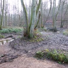
Naturschutzgebiet Ruhbachtal
3.3 km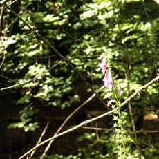
Hesswiese-Neuwies
2 km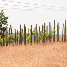
Hoferkopf mit Villinger Park
1.7 kmReviews
Visited this place? Tap the stars to rate it and share your experience / photos with the community! Try now! You can cancel it anytime.
Discover hidden gems everywhere you go!
From secret cafés to breathtaking viewpoints, skip the crowded tourist spots and find places that match your style. Our app makes it easy with voice search, smart filtering, route optimization, and insider tips from travelers worldwide. Download now for the complete mobile experience.

A unique approach to discovering new places❞
— Le Figaro
All the places worth exploring❞
— France Info
A tailor-made excursion in just a few clicks❞
— 20 Minutes