Aulne, River system in Brittany, France
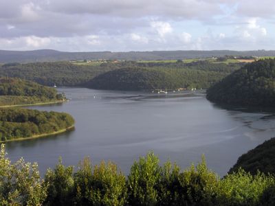
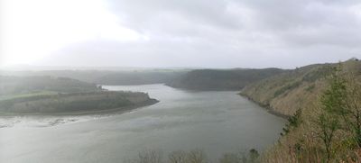
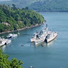
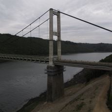
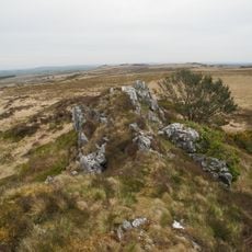
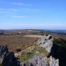
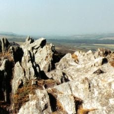
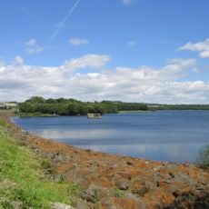
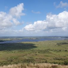
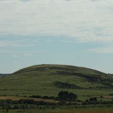
The Aulne is a river system that stretches about 144 kilometers across Brittany, flowing from inland hills to the Brest roadstead on the Atlantic coast. Along its course, the waterway widens at various points, creating lakes and reservoirs that serve both natural and practical purposes.
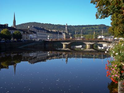
The Romans called this river Alaunus and included it in their network of trade routes across northwestern France during their occupation. Later, the waterway became part of a major canal system that connected the region and supported transport and commerce.
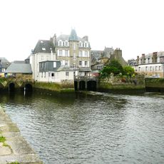
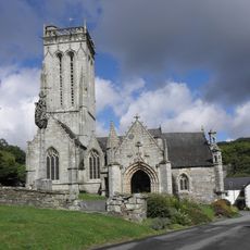
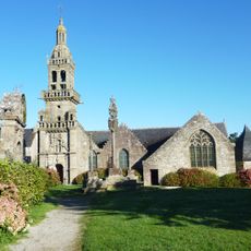
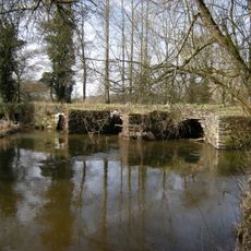
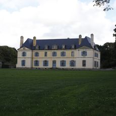
The river shapes daily life in Breton communities, with fishing villages along its banks reflecting traditions rooted in working with water and its resources. Local people still gather at certain spots where the river meets settled areas, maintaining connections to their waterside heritage.
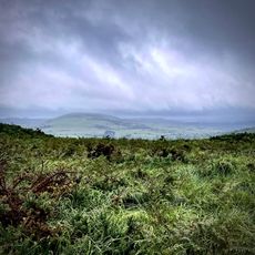
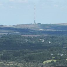
You can access the river at multiple points for kayaking, salmon fishing, or walking along maintained paths that are open year-round. Spring and autumn offer the most pleasant conditions, when water levels are stable and trails are easy to navigate.
Submerged locks from the Canal de Nantes à Brest lie beneath the waters of the Guerledan hydroelectric dam and become visible when water levels drop. These hidden remains show how the river once played a central role in regional trade and transport.
The community of curious travelers
AroundUs brings together thousands of curated places, local tips, and hidden gems, enriched daily by 60,000 contributors worldwide.