Périgueux

Log in to your account

AroundUs is a community-driven map of interesting places, built by curious explorers like you. It grows with every review, story, and photo you share.
Connect to save your favorite spots, contribute locations, and create personalized routes.
By continuing, you accept our Terms and Conditions and our Privacy Policy
Add to collection
Map
Suggest a change
Share

Périgueux, Administrative capital in Dordogne, France

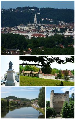
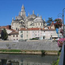
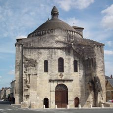
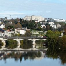
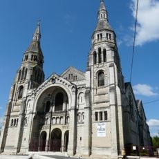
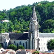
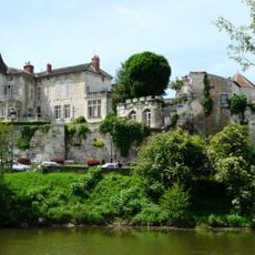
Périgueux is the capital of the Dordogne department in southwestern France, situated along the Isle River. The town combines Roman remains such as the Vesunna amphitheatre, medieval quarters with winding lanes, and the widely visible Saint-Front Cathedral with its five Byzantine domes.

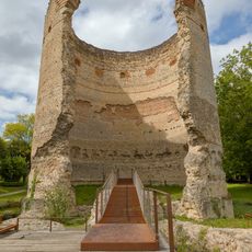
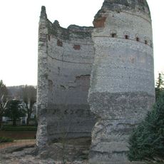
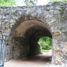
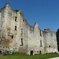
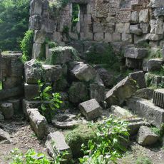
The Celtic settlement of the Petrocorii was conquered by the Romans in the first century BCE and developed into the town of Vesunna, which gained baths, temples, and a forum. During the Middle Ages the Christian quarter grew around Saint-Front while Roman structures were gradually incorporated into new buildings.

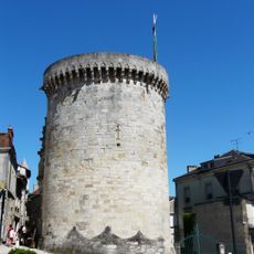
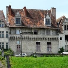
The name Périgueux comes from the Gallic Petrocorii tribe, whose settlement became a Roman town still visible through preserved city walls today. Locals gather in cafés around Place Saint-Louis while visitors wander the narrow lanes of the old quarter, admiring the honey-colored stone façades.

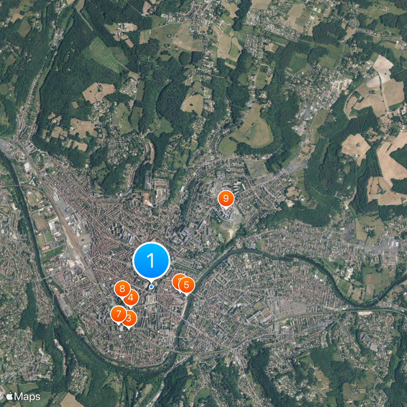
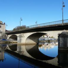
The best starting point for a walk is the railway station, from which you can reach the old centre on foot in about 15 minutes. The town can be explored comfortably in one day, and sturdy shoes are helpful for the cobbled streets and hills.

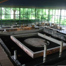
The domes of the cathedral were completely rebuilt in the 19th century after a fire, with architect Paul Abadie using Venice as a model. Beneath Place Francheville lie the foundations of a Roman temple, discovered during construction work and now visible through glass panels in the pavement.

Location: Dordogne

Location: canton of Périgueux-Centre

Location: canton of Périgueux-Nord-Est

Location: canton of Périgueux-Ouest

Location: arrondissement of Périgueux

Elevation above the sea: 110 m

Shares border with: Champcevinel, Chancelade, Château-l'Évêque, Coulounieix-Chamiers, Marsac-sur-l'Isle, Sanilhac, Trélissac, Boulazac Isle Manoire, Boulazac, Notre-Dame-de-Sanilhac

Address: Périgueux, France

Phone: +33553028200

Email: contact@perigueux.fr

Website: https://perigueux.fr

GPS coordinates: 45.18417,0.71806

Latest update: December 4, 2025 19:01

Reviews

Visited this place? Tap the stars to rate it and share your experience / photos with the community! Try now! You can cancel it anytime.

« Périgueux - Administrative capital in Dordogne, France » is provided by Around Us (aroundus.com). Images and texts are derived from Wikimedia project under a Creative Commons license. You are allowed to copy, distribute, and modify copies of this page, under the conditions set by the license, as long as this note is clearly visible.

Discover hidden gems everywhere you go!

From secret cafés to breathtaking viewpoints, skip the crowded tourist spots and find places that match your style. Our app makes it easy with voice search, smart filtering, route optimization, and insider tips from travelers worldwide. Download now for the complete mobile experience.

Around Us App Screenshot

A unique approach to discovering new places

Le Figaro

All the places worth exploring

France Info

A tailor-made excursion in just a few clicks

20 Minutes