Enable Location

We need your location to show you interesting places around you

Discover nearby places

Find interesting locations and hidden gems around you

Precise directions

Get accurate directions and distances to places

Your location is never shared with other users. It's only used when you tap the location button.

19th arrondissement of Paris

Log in to your account

Start exploring — it's free

Trusted by 62,063 travelers worldwide

Continue with Google
Continue with Apple
or

We will send you a code to connect

By continuing, you accept our Terms and Conditions and our Privacy Policy

Check your inbox

We've sent a pincode in your inbox. Please enter the code below.

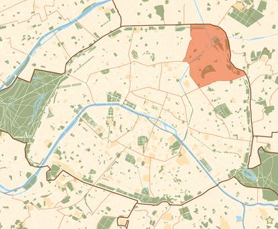
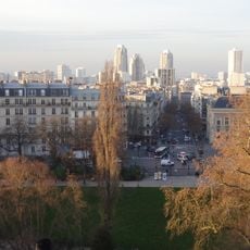
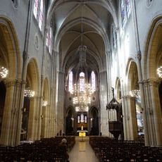
19th arrondissement of Paris, Municipal district in northeastern Paris, France.

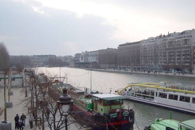
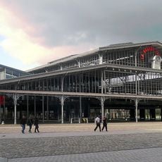
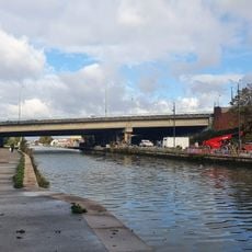
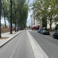
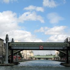
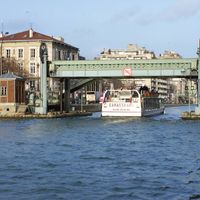
The nineteenth arrondissement lies on the right bank of the Seine and covers part of the northeast of the capital. Two canals cross the district and connect green spaces, residential blocks, and lively squares.

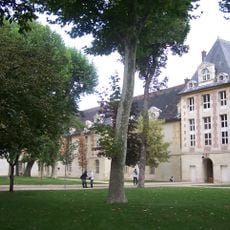
The district was created in 1860 under Napoleon III when Paris expanded its boundaries and incorporated new neighborhoods. At that time the former village of La Villette and parts of Belleville were absorbed into the city.

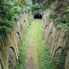
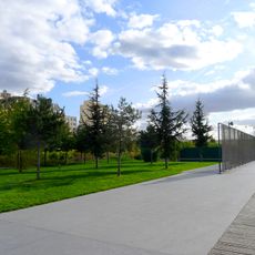
The name Buttes-Chaumont comes from the bare hills that once stood here and served as a quarry. Today residents meet in the parks along the canals for jogging or a picnic by the water.

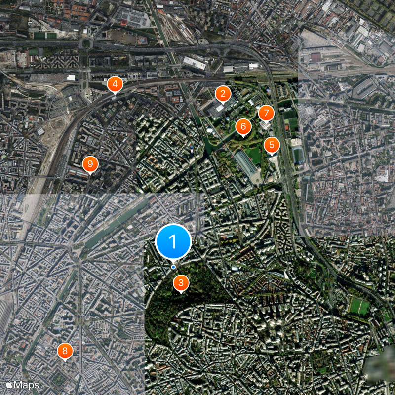
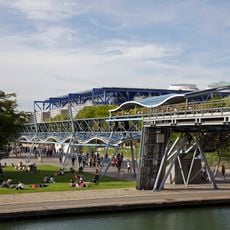
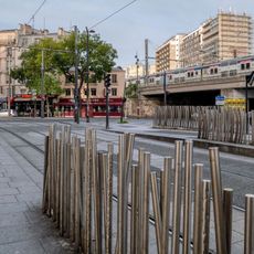
Several metro lines serve the district and connect it to the city center, including lines 5, 7, and 11. The stations Porte de Pantin and Stalingrad are located at important junctions and make it easier to reach the parks.

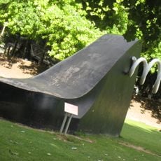
The park Buttes-Chaumont was built on an old gypsum quarry site that previously served as a dump. The artificial cliffs and the lake date from the time of the great Parisian redesign in the nineteenth century.

The community of curious travelers

AroundUs brings together thousands of curated places, local tips, and hidden gems, enriched daily by 60,000 contributors worldwide.

Start exploring
Location
Inception
1860
Shares border with
10th arrondissement of Paris, 11th arrondissement of Paris, 18th arrondissement of Paris, 20th arrondissement of Paris, Aubervilliers, Pantin, Les Lilas, Le Pré-Saint-Gervais
GPS coordinates
48.88235,2.38182
Latest update
December 13, 2025 16:26
« 19th arrondissement of Paris - Municipal district in northeastern Paris, France » is provided by Around Us (aroundus.com). Images and texts are derived from Wikimedia project under a Creative Commons license. You are allowed to copy, distribute, and modify copies of this page, under the conditions set by the license, as long as this note is clearly visible.

Discover hidden gems everywhere you go!

From secret cafés to breathtaking viewpoints, skip the crowded tourist spots and find places that match your style. Our app makes it easy with voice search, smart filtering, route optimization, and insider tips from travelers worldwide. Download now for the complete mobile experience.

Around Us App Screenshot

A unique approach to discovering new places

Le Figaro

All the places worth exploring

France Info

A tailor-made excursion in just a few clicks

20 Minutes

Around Us
Travel Guide & Maps
Download

Send to your phone

QR Code
1

Open the camera app on your mobile.

2

Point at the QR code with your camera. A notification will appear.

3

Tap the notification to open the link.