Col de Montgenèvre, Mountain pass in Hautes-Alpes, France
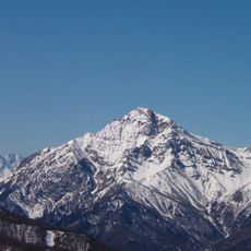
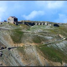
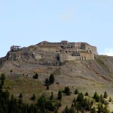
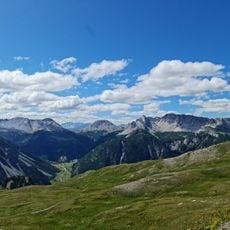
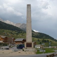
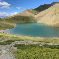
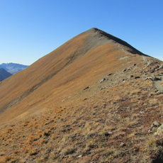
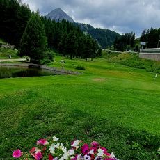
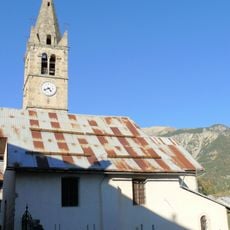
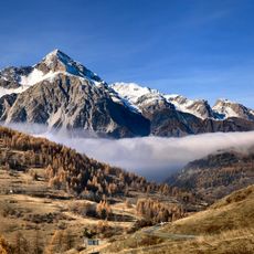
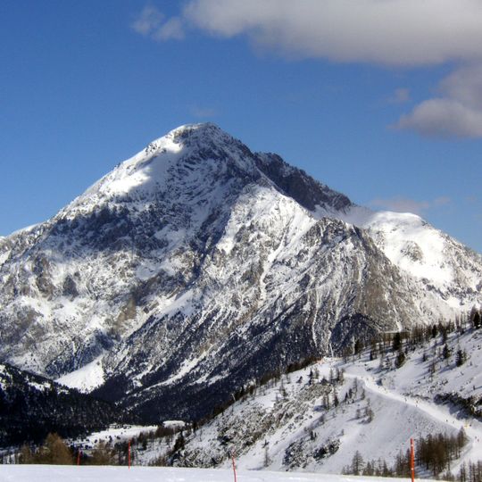
Col de Montgenèvre is a pass at 1,850 m between the Cerces massif and the Queyras, 2.5 km from the Italian border. It lies in a glacial trough about 5 km long, suspended above the Briançon valley on the French side and the Po plain on the Italian side. The road links Briançon with Cesana Torinese; the summit opens between the Tête des Fournéous and the Sommet de Château Jouan.
Used since Gallic and Roman times, the pass carried the Via Domitia, begun by consul Gnaeus Domitius Ahenobarbus in 121 BC. Around 3-2 BC Marcus Julius Cottius improved the route from Italy to Narbonensis. In 333 the Bordeaux Pilgrim recorded the name Matrona and a travellers' building, excavated in 2010. Napoleon's road was finished in 1804; the border moved east of the pass to Clavière in 1947.
The pass lies on the French branch of the via Francigena, the pilgrimage road to Rome, which joined the main route at Santhià in Italy. Its Latin name Matrona is recorded by the Bordeaux Pilgrim in 333, who noted a building where travellers could stay; excavations in 2010 uncovered a courtyard building of the kind found at the Great and Little St Bernard passes.
The road remains open year-round, though winter months can bring snow and ice requiring appropriate tires or chains. Drivers should plan for steady climbing with clear sightlines, and allow extra time during busy seasons when cyclists and tour groups use the route.
The Giro d'Italia first crossed the pass in 1949, on a 254 km stage from Cuneo to Pinerolo over Larche, Vars, Izoard and Montgenèvre; Fausto Coppi attacked on the first climb and finished over ten minutes ahead of Gino Bartali. The Tour de France has used it eleven times, and in 1996 the peloton climbed it twice in two days, from the French and then the Italian side.
The community of curious travelers
AroundUs brings together thousands of curated places, local tips, and hidden gems, enriched daily by 94,657 contributors worldwide.