Enable Location

We need your location to show you interesting places around you

Discover nearby places

Find interesting locations and hidden gems around you

Precise directions

Get accurate directions and distances to places

Your location is never shared with other users. It's only used when you tap the location button.

Mont Granier

Log in to your account

Start exploring — it's free

Trusted by 63,020 travelers worldwide

Continue with Google
Continue with Apple
or

We will send you a code to connect

By continuing, you accept our Terms and Conditions and our Privacy Policy

Check your inbox

We've sent a pincode in your inbox. Please enter the code below.

Mont Granier
Discussion Reviews 2 Photos
27.1k Popularity

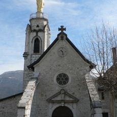
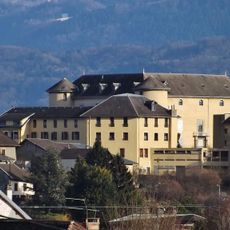
Mont Granier, Limestone mountain summit in Chapareillan, France

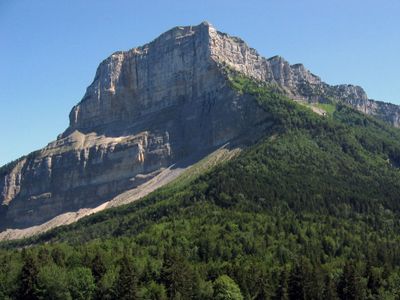
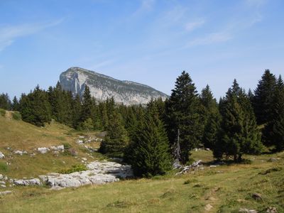
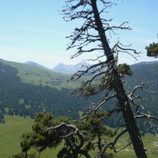
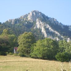
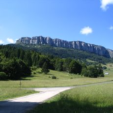
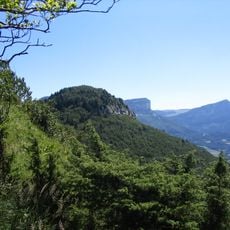
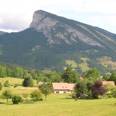
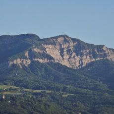
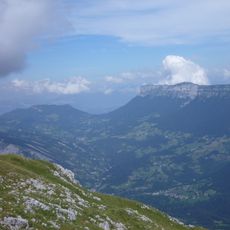
Mont Granier is a limestone mountain in the Chartreuse range rising to 1,933 meters, with a vertical rock face reaching about 900 meters high. The southern side displays massive limestone layers that give the peak its distinctive appearance.

The mountain served as a triangulation station in early surveying systems used to map the region. In 1248, a catastrophic landslide destroyed several villages when a massive limestone mass collapsed on the slopes.

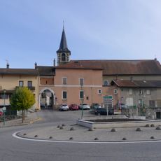
The slopes support vineyards producing local Apremont and Abymes wines using the Jacquère grape variety grown here for centuries. This wine tradition shapes daily life and local identity in the villages below.

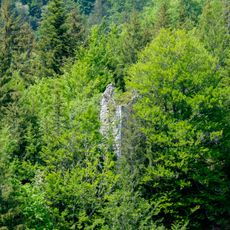
Multiple hiking trails start from the village and lead to the summit with varying difficulty levels for different abilities. The climb requires sturdy footwear and sure footing, especially on steeper sections with rocky ridges.

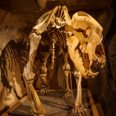
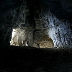
An extensive cave system lies beneath the mountain with hundreds of underground chambers yet to be fully explored. The Balme-à-Collomb cave preserves remains of prehistoric cave bears that died here thousands of years ago.

The community of curious travelers

AroundUs brings together thousands of curated places, local tips, and hidden gems, enriched daily by 60,000 contributors worldwide.

Start exploring
Location
Elevation above the sea
1,933 m
Made from material
limestone
GPS coordinates
45.46480,5.92512
Latest update
December 20, 2025 14:14
Reviews
Share your experience

No review yet

Discussions
Start a discussion...

No discussion yet

« Mont Granier - Limestone mountain summit in Chapareillan, France » is provided by Around Us (aroundus.com). Images and texts are derived from Wikimedia project under a Creative Commons license. You are allowed to copy, distribute, and modify copies of this page, under the conditions set by the license, as long as this note is clearly visible.

Discover hidden gems everywhere you go!

From secret cafés to breathtaking viewpoints, skip the crowded tourist spots and find places that match your style. Our app makes it easy with voice search, smart filtering, route optimization, and insider tips from travelers worldwide. Download now for the complete mobile experience.

Around Us App Screenshot

A unique approach to discovering new places

Le Figaro

All the places worth exploring

France Info

A tailor-made excursion in just a few clicks

20 Minutes

Around Us
Travel Guide & Maps
Download

Send to your phone

QR Code
1

Open the camera app on your mobile.

2

Point at the QR code with your camera. A notification will appear.

3

Tap the notification to open the link.