
Enchastrayes, commune in Alpes-de-Haute-Provence, France
Location: Alpes-de-Haute-Provence
Location: arrondissement of Barcelonnette
Elevation above the sea: 1,866 m
Shares border with: Barcelonnette, Faucon-de-Barcelonnette, Jausiers, Uvernet-Fours
Address: 797 route d'Enchastrayes, 04400 Enchastrayes 04400 04400
Phone: +33492810548
Email: mairie.enchastrayes@orange.fr
Website: http://enchastrayes.fr
GPS coordinates: 44.36750,6.69528
Latest update: June 14, 2025 10:58
Cime de la Bonette
10.2 km
Pelat
11.4 km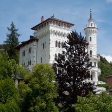
Château des Magnans
6.8 km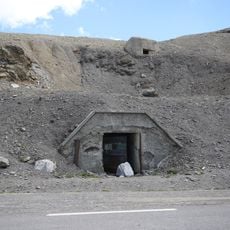
Ouvrage Restefond
9.9 km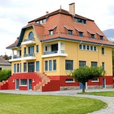
Blue Villa
3.7 km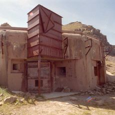
Ouvrage La Moutière
9.9 km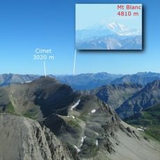
Cimet
8.6 km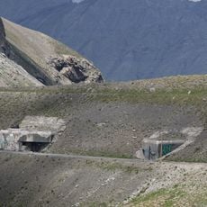
Ouvrage Col de Restefond
9.8 km
Le Chapeau du Gendarme
4.1 km
Grand Bérard
9.6 km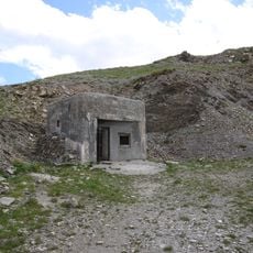
Ouvrage Granges Communes
11.2 km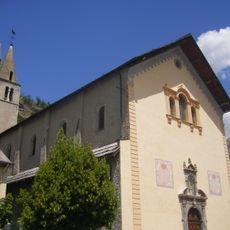
Église Saint-Nicolas-de-Myre de Jausiers
6.6 km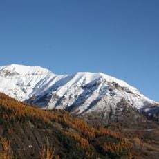
Grand Cheval de Bois
9.7 km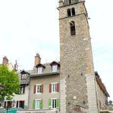
Tour Cardinalis
4 km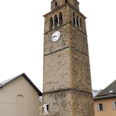
Tour de l'Horloge
3.2 km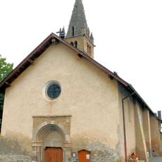
Église Saint-Pons à Saint-Pons
6 km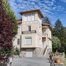
Villa Costebelle
4 km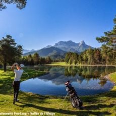
Golf du Bois Chenu
5.7 km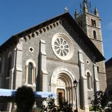
Église Saint-Pierre-ès-liens de Barcelonette
4.2 km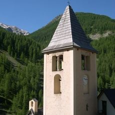
Église Saint-Laurent de Fours
5.5 km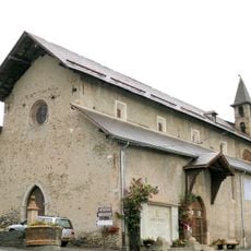
Église Saint-Étienne de Faucon-de-Barcelonnette
3.2 km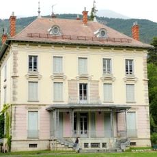
Villa du Parc du Mercantour
3.9 km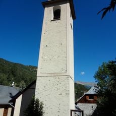
Église Saint-André d'Uvernet
5.6 km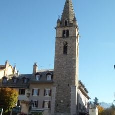
Église Saint-Dominique de Barcelonnette
4 km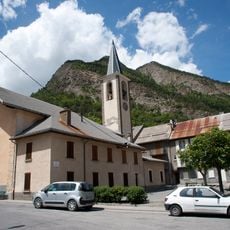
Église Sainte-Catherine de La Condamine-Châtelard
10.9 km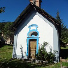
Chapelle Saint-Barthélemy d'Uvernet-Fours
5.8 km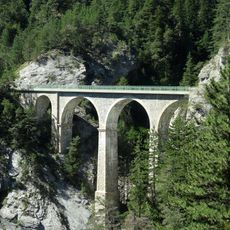
Pont du Fau
6.7 km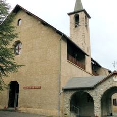
Couvent des Trinitaires de Faucon-de-Barcelonnette
3.2 kmReviews
Visited this place? Tap the stars to rate it and share your experience / photos with the community! Try now! You can cancel it anytime.
Discover hidden gems everywhere you go!
From secret cafés to breathtaking viewpoints, skip the crowded tourist spots and find places that match your style. Our app makes it easy with voice search, smart filtering, route optimization, and insider tips from travelers worldwide. Download now for the complete mobile experience.

A unique approach to discovering new places❞
— Le Figaro
All the places worth exploring❞
— France Info
A tailor-made excursion in just a few clicks❞
— 20 Minutes