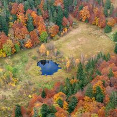
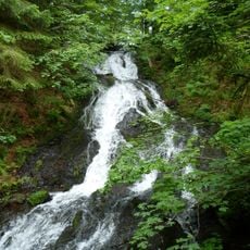
Col de la Schlucht, Mountain pass in Vosges Mountains, France
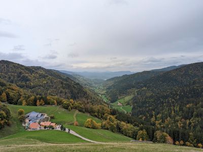
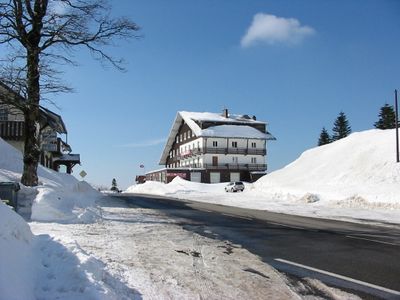
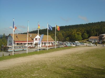
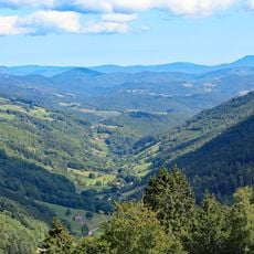
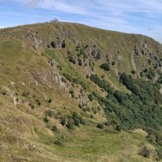
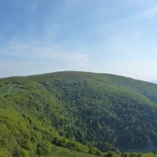
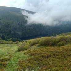
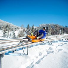
Col de la Schlucht is a mountain pass in the Vosges at 1139 meters, linking Munster and Gérardmer between Alsace and Lorraine via the D417 road. Two ski lifts ascend toward Trois Fours at 1246 meters, serving blue-level slopes with parking and dining options nearby.
Between 1871 and 1918, this pass marked the strategic border between France and Germany following the Treaty of Frankfurt. After World War I, it returned to French territory and became a key transportation link in the region.
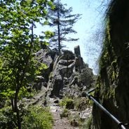
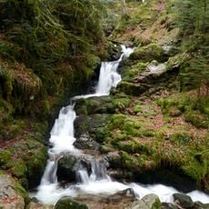
The name Schlucht comes from German and refers to the gorge formation typical of this Vosges section. You can see this German-French heritage reflected in the local architecture, dialect, and customs of the surrounding villages.
The road is well-maintained but can be snowy in winter, requiring careful driving. Bring warm clothing and be prepared for conditions that change significantly depending on the season.
The Tour de France has passed through here multiple times since World War II, making it a cycling classic among enthusiasts. Steep gradients and the pass's historic significance draw thousands of cyclists annually who retrace the legendary route.
Location: Le Valtin
Location: Stosswihr
Elevation above the sea: 1,139 m
Address: Col de la Schlucht, 88230 Le Valtin, France
GPS coordinates: 48.06417,7.02266
Latest update: December 6, 2025 16:02
Alsace has preserved its historical structures through the centuries. The region extends from Rhine valley vineyards to forested Vosges heights and displays its past through castles, abbeys and museums. Château du Haut-Kœnigsbourg stands above the Rhine plain, while Fort de Mutzig demonstrates early...
Route des Crêtes
591 m
Hohneck
3 km
Sentier des Roches
1.2 km
Le Tanet
3.1 km
Kastelberg
5 km
Charlemagne waterfall
2.7 km
Lac d'Altenweiher
6.1 km
Jardin d'altitude du Haut Chitelet
1.6 km
Réserve naturelle nationale de Frankenthal-Missheimle
1.2 km
Réserve naturelle nationale du Tanet-Gazon du Faing
5.9 km
Cascade du Rudlin
5.5 km
Spitzkoepfe
3.8 km
Cascade de Retournemer
3.1 km
Schlitte Mountain
5 km
La Ferme Aux Rennes
3.1 km
Martinswand
2 km
Église Saint-Sylvestre du Valtin
3.7 km
Chapelle Saint-Jean-Baptiste du Rudlin
6.1 km
Église Saint-Barthélemy
6.2 km
Taubenklangfelsen
6 km
Église Marie-Auxiliatrice de Stosswihr
5.7 km
Église protestante de Stosswihr
6.1 km
Mairie de Stosswihr
6.2 km
Chalet du Gaertlesrain
4.5 km
Temple protestant de Soultzeren
6 km
Croix de chemin des Feignes sous Vologne
4 km
Chapelle Saint-Florent
5.9 km
Croix Marchal
2.8 kmVisited this place? Tap the stars to rate it and share your experience / photos with the community! Try now! You can cancel it anytime.
Discover hidden gems everywhere you go!
From secret cafés to breathtaking viewpoints, skip the crowded tourist spots and find places that match your style. Our app makes it easy with voice search, smart filtering, route optimization, and insider tips from travelers worldwide. Download now for the complete mobile experience.
A unique approach to discovering new places❞
— Le Figaro
All the places worth exploring❞
— France Info
A tailor-made excursion in just a few clicks❞
— 20 Minutes