Gâtinais, Historical province between Seine and Loire rivers, France.
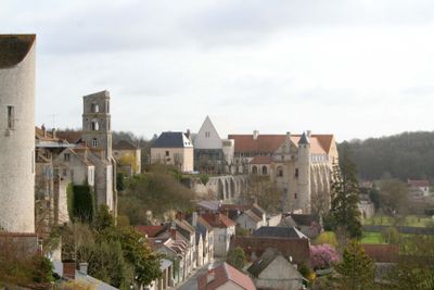
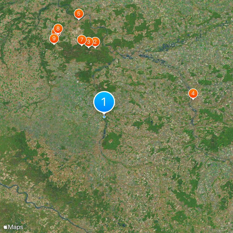
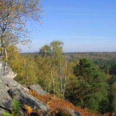
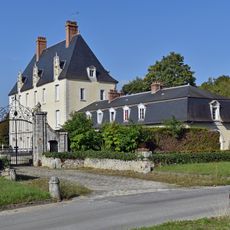
Gâtinais is a historical province stretching across the Loing valley, covering parts of present-day Loiret and southern Seine-et-Marne departments. The territory finds its natural boundaries between the Seine and Loire rivers, forming a distinct landscape shaped by water and rolling countryside.
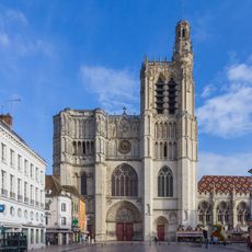
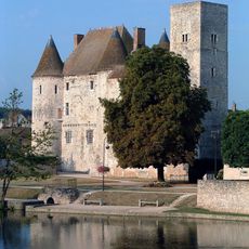
During the Frankish period, the territory was known as pagus Wastinensis and served as one of five administrative divisions under the Archbishop of Sens. This structure shaped how the land was governed and developed throughout the early medieval centuries.
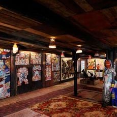
The region's character emerges from generations of saffron farming and honey-making, with Pithiviers standing as the heart of these traditional crafts. These local products continue to shape how people here see their place and its identity.
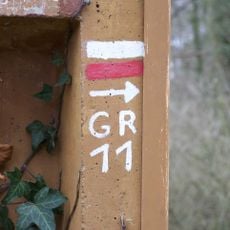
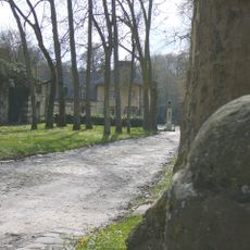
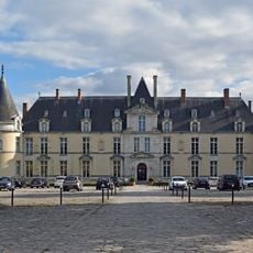
The western section, Gâtinais orléanais, includes the administrative districts of Montargis and substantial portions of Pithiviers in Loiret department. The region is best explored by car or on foot through its network of villages and farmland that spreads across the valleys.
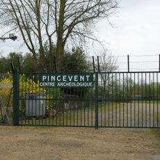
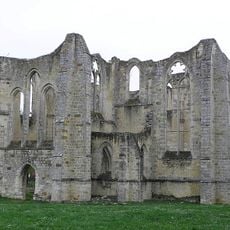
Archaeological digs near Sceaux-du-Gâtinais uncovered a major religious sanctuary from Gaulish and Roman times. These discoveries show that the area held spiritual importance for people living here over many centuries.
The community of curious travelers
AroundUs brings together thousands of curated places, local tips, and hidden gems, enriched daily by 60,000 contributors worldwide.