Tinée, River in Alpes-Maritimes, France.
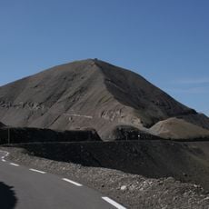
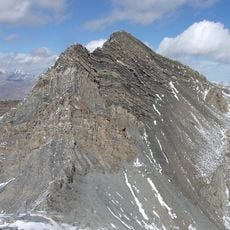
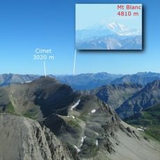
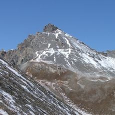
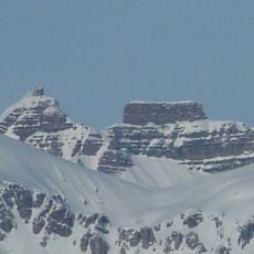
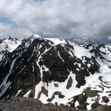
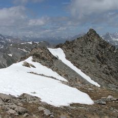
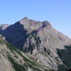
The Tinée flows for approximately 70 kilometers through the southeastern French Alps, originating from the slopes of Col de la Bonette at 2,700 meters elevation and draining a basin of 743 square kilometers before joining the Var River near Utelle.
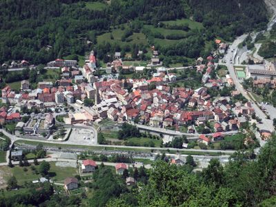
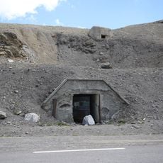
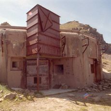
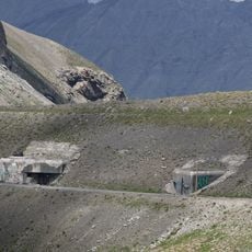
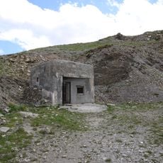
Throughout centuries, communities along the Tinée have relied on its waters for irrigation and livestock, while the 19th century brought mining and forestry activities that significantly shaped the development of the surrounding valley regions.
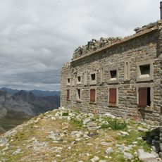
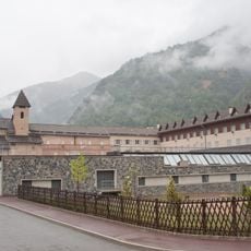
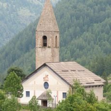
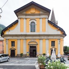
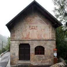
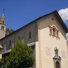
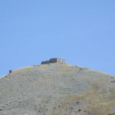
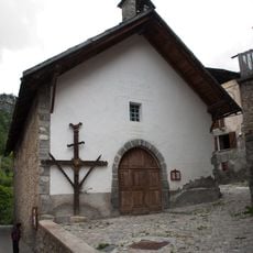
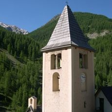
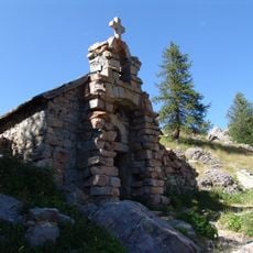
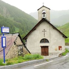
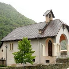
The Tinée valley preserves traditional Alpine customs through seasonal festivals, ancestral agricultural practices, and architectural heritage including ancient chapels and stone bridges that punctuate the river's course through mountain villages.
Access to the Tinée is possible via marked hiking trails along its banks, though navigation is limited due to swift currents and mountainous terrain, with designated fishing spots available under regional authority regulations.
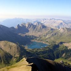
The river experiences dramatic seasonal flow variations influenced by snowmelt and rainfall patterns, creating distinct hydrological cycles that support diverse ecosystems from high-altitude glacial zones to lower riparian environments.
The community of curious travelers
AroundUs brings together thousands of curated places, local tips, and hidden gems, enriched daily by 60,000 contributors worldwide.