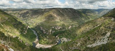
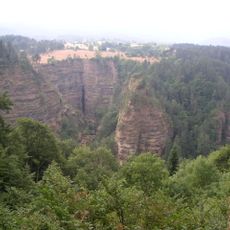
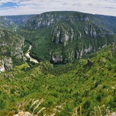
Gorges du Tarn, River canyon in Occitania, France
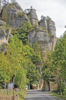
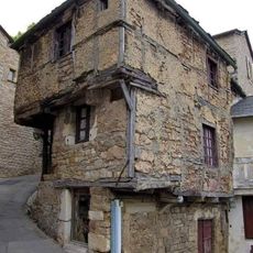
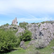
The Gorges du Tarn is a river canyon with limestone cliffs stretching across a significant distance between the plateaus. The river winds through this dramatic landscape, creating steep walls on either side that define the geography of the region.
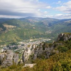
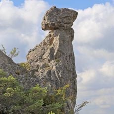
This canyon was shaped over millions of years as the river slowly carved through soft limestone layers, creating one of Europe's most significant natural formations. The geological process left behind the dramatic landscape you see today.
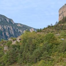
Local shepherds shape the landscape of the surrounding plateaus through traditional sheep farming that has defined the region for generations. You can see their influence in the scattered villages and pastoral rhythms that still govern daily life in this area.
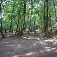
The canyon can be explored on foot using hiking paths, by paddling down the river, or by driving along the road that runs through the valley. Different routes suit different seasons and fitness levels depending on your preferences.
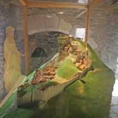
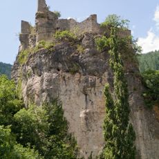
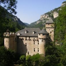
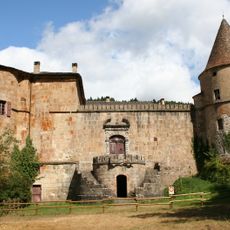
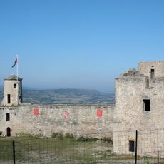
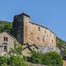
A few settlements tucked into the canyon walls are reachable only by water, including Castelbouc which clings to its original clifftop location. These isolated communities offer a rare window into how people adapted to living in such a dramatic environment.
Location: Lozère
Location: Aveyron
Address: Gorges du Tarn, 48150 Saint-Pierre-des-Tripiers, France
GPS coordinates: 44.35500,3.56167
Latest update: December 6, 2025 16:00
France offers motorcyclists a diverse landscape, from Alpine peaks to Mediterranean coasts, including wine regions. The country is suitable for all riding styles, with demanding mountain roads, winding coastal routes, and rural paths. Key routes include the Col de la Bonette, reaching 2802 meters...
Cham des Bondons
5.9 km
Château de Florac
4.4 km
Collégiale de Bédouès
3.8 km
Château d'Arigès
2.8 km
Château de Miral
6.3 km
Château de Rocheblave
4 km
Pont de Quézac
3.6 km
Collégiale Notre-Dame de Quézac
3.3 km
Col de Montmirat
7.2 km
Monastère des Ursulines
2.6 km
Church of St. Peter and St. Paul of Ispagnac
2.7 km
Manoir d'Issenges
2.1 km
Menhirs de la Fage
7.1 km
Menhirs de Colobrières
7.7 km
Les Combes dolmen
6.6 km
Monument to Léon Boyer
4.1 km
Église Saint-Jean-Baptiste de Cocurès
4.7 km
Florac war memorial
4.3 km
Saint Roch Church of Blajoux
6.6 km
Église Saint-Pierre-et-Saint-Paul de Montbrun
5 km
Église Saint-Saturnin des Bondons
5.7 km
Église Saint-Martin de Florac
4.2 km
Menhir du Relais
3.1 km
Chapelle Saint-Saturnin de Bédouès
3.8 km
Temple de Florac
4.3 km
Bridge over the Tarn
2.9 km
Pierre Plate
2.9 km
Menhirs de Cropilhac
6.7 kmVisited this place? Tap the stars to rate it and share your experience / photos with the community! Try now! You can cancel it anytime.
Discover hidden gems everywhere you go!
From secret cafés to breathtaking viewpoints, skip the crowded tourist spots and find places that match your style. Our app makes it easy with voice search, smart filtering, route optimization, and insider tips from travelers worldwide. Download now for the complete mobile experience.
A unique approach to discovering new places❞
— Le Figaro
All the places worth exploring❞
— France Info
A tailor-made excursion in just a few clicks❞
— 20 Minutes