
Canton of Saint-Georges-de-l'Oyapock, canton of France (until March 2015)
Location: arrondissement of Cayenne
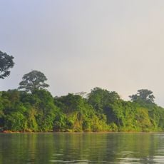
Location: French Guiana
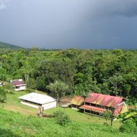
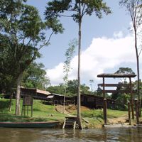
Capital city: Saint-Georges
GPS coordinates: 3.75448,-51.93774
Latest update: April 4, 2025 13:26
Guiana Amazonian Park
228 km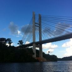
Franco-Brazilian Binational Bridge
16.9 km
Camp Crique Anguille
135.8 km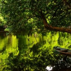
Cabo Orange National Park
88.9 km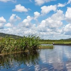
Kaw-Roura Marshes National Nature Reserve
97.2 km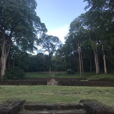
Habitation Loyola
132.7 km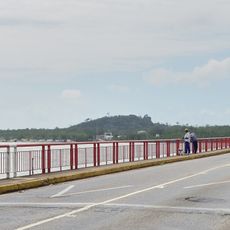
Pont du Larivot
136.9 km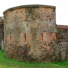
Fort Diamant
128.9 km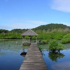
Salines de Montjoly
135.4 km
Montagne d'Argent
75.9 km
Réserve naturelle nationale de l'île du Grand Connétable
119.4 km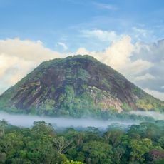
Monte Carupina
45.2 km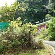
Trésor Regional Nature Reserve
102.5 km
La Trinité National Nature Reserve
77.1 km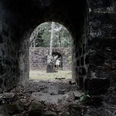
Habitation Vidal
130 km
Réserve naturelle nationale du mont Grand Matoury
131.8 km
Windmill of Remire-Montjoly
132.2 km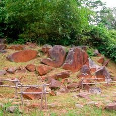
Serpent de Pascaud
128.6 km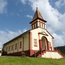
Église Saint-Dominique de Roura
116.4 km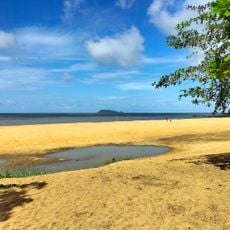
Plage de Gosselin
131.2 km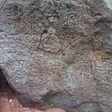
Roches gravées de la Montagne Favard
84.1 km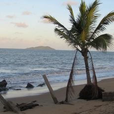
Plage Bourda
136.7 km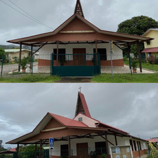
Église Sainte-Thérèse de Montjoly
134 km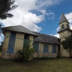
Église Saint-Étienne de Régina
65.7 km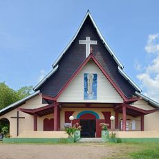
Église Hmong de Cacao
108.8 km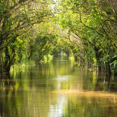
Canal de Kaw
84 km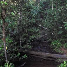
Sentier Molokoï
107.6 km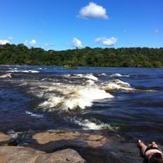
Saut Maripa (busay)
7.9 kmReviews
Visited this place? Tap the stars to rate it and share your experience / photos with the community! Try now! You can cancel it anytime.
Discover hidden gems everywhere you go!
From secret cafés to breathtaking viewpoints, skip the crowded tourist spots and find places that match your style. Our app makes it easy with voice search, smart filtering, route optimization, and insider tips from travelers worldwide. Download now for the complete mobile experience.

A unique approach to discovering new places❞
— Le Figaro
All the places worth exploring❞
— France Info
A tailor-made excursion in just a few clicks❞
— 20 Minutes