Luberon, Mountain range in Vaucluse, France
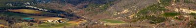
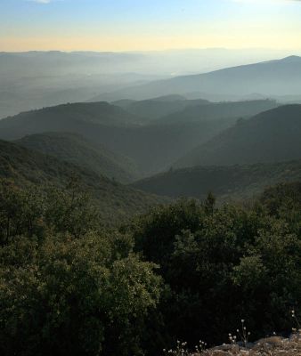
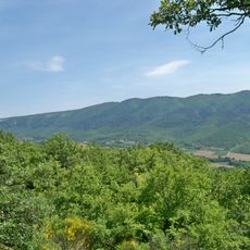
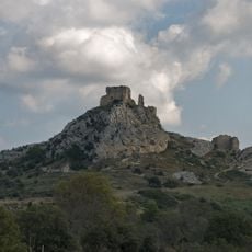
Luberon is a mountain range in the departments of Alpes-de-Haute-Provence and Vaucluse that stretches roughly 60 kilometers (37 miles) and rises to 1125 meters (3691 feet) at its highest point. The sedimentary rock slopes descend gently to the north while dropping steeply into the Durance Valley on the southern side.
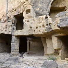
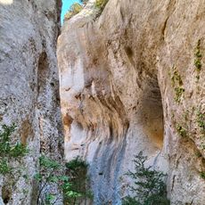
The rocks formed during the Mesozoic when the Tethys Sea covered the region and deposited marine carbonates. Later tectonic movements lifted the sedimentary layers and shaped the present mountain range.
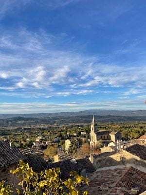
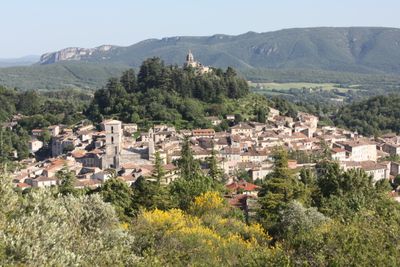
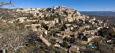
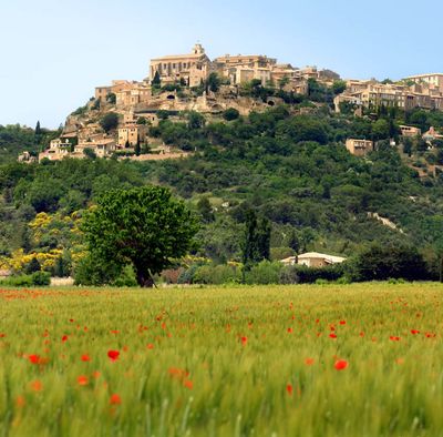
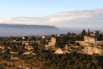
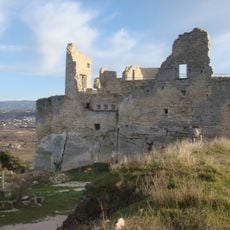
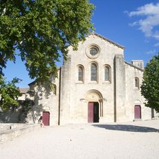
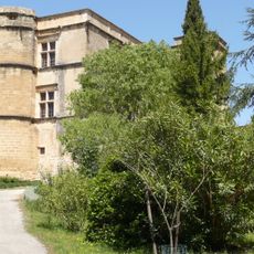
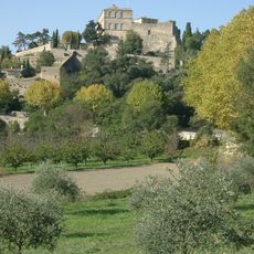
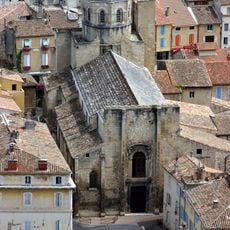
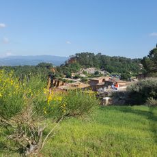
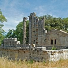
The name derives from the Latin word for "boundary" and reflects its role as a dividing line between different administrative territories for centuries. Today small ochre-stone villages dot the slopes, their narrow lanes and squares forming the center of local life.
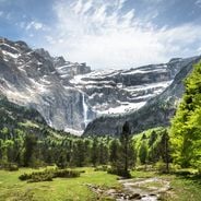
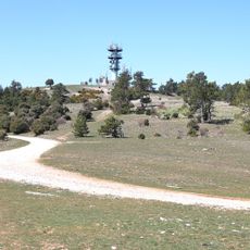
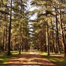
A network of hiking trails runs through the entire region, from short forest walks to full-day routes across exposed ridges. The Mediterranean climate allows visits year-round, though midsummer can be very hot on open slopes.
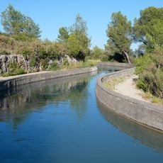
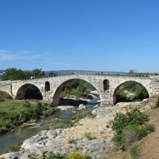
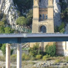
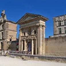
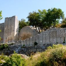
More than 400 climbing routes thread through the rock formations at Buoux, with difficulty levels ranging from easy ascents to the most demanding categories. The ancient Pont Julien sits at the foot of the range, and nearby routes run up to 20 meters (65 feet) along the cliff faces.
The community of curious travelers
AroundUs brings together thousands of curated places, local tips, and hidden gems, enriched daily by 60,000 contributors worldwide.