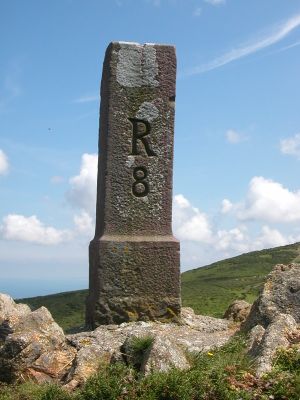
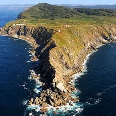
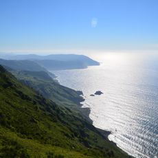
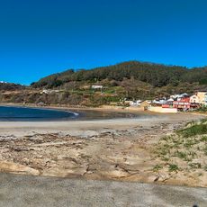
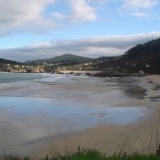
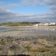
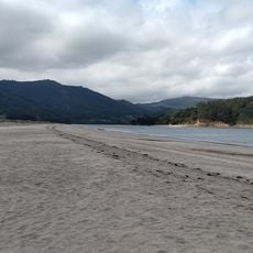
France–Spain border, International border in Pyrenees mountains, France and Spain.
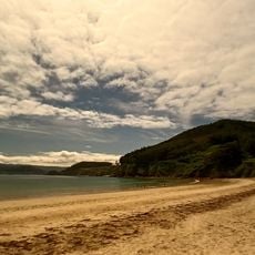
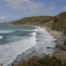
The France-Spain border is an international line stretching 656 kilometers from the Atlantic to the Mediterranean through valleys, rivers, and mountain passes of the Pyrenees. It touches several regions and crosses varied terrain between both countries.
The Treaty of the Pyrenees in 1659 fixed the border alignment after the end of the Franco-Spanish War. Earlier divisions of territory were settled in this document and continue to shape the political line today.
The border area brings together Basque, Aragonese, and Catalan speaking communities that continue their traditions on both sides through local dialects and everyday practices. Villages in the Pyrenees often exchange goods and families share grazing lands and forest areas that reflect centuries of cooperation.
Travelers today can cross under the Schengen Agreement without checks but should carry identification. Several mountain roads and lower passes connect both sides during warmer months.
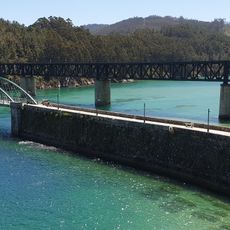
Pheasant Island in the Bidasoa River switches sovereignty every six months between France and Spain under international agreement. This rhythmic change has been in place for over 350 years and makes the island a special case.
The community of curious travelers
AroundUs brings together thousands of curated places, local tips, and hidden gems, enriched daily by 60,000 contributors worldwide.