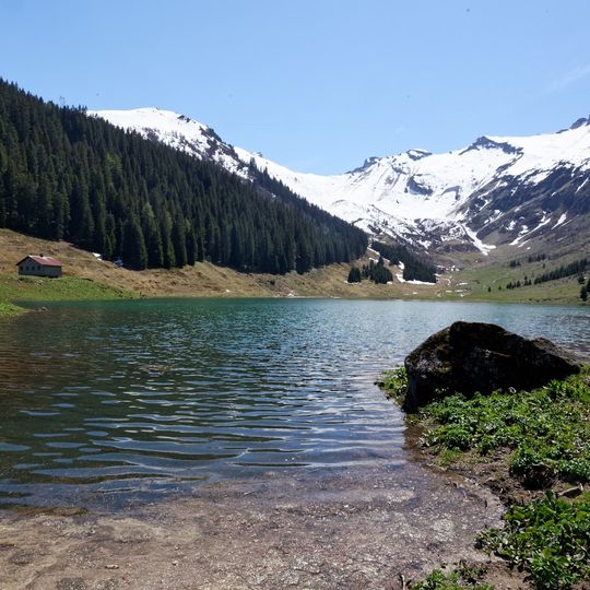
Lac de Gers, Lake in France
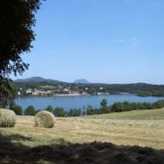
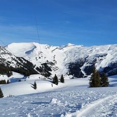
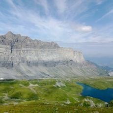
Lac de Gers is a lake on the commune of Samoëns in Haute-Savoie, at an altitude of 1,537 m. Its outlet is the Gers torrent, which flows into the Giffre, a tributary of the Arve. Its surface reaches 6.5 ha at most, and the water level varies by up to 2 m over the seasons.
Lac de Gers lies at 1,537 m in the commune of Samoëns, Haute-Savoie. Its outflow, the Gers torrent, feeds the Giffre, a tributary of the Arve and thus part of the Rhône basin. The Genevan writer Rodolphe Töpffer described reaching the small lake after three hours of a rapid climb, finding it set between green slopes.
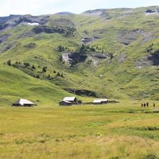
The meadows surrounding the water serve as summer pasture for local livestock, a practice that continues to shape how the area looks and feels. Visitors can spot grazing animals and the pastoral landscape that has defined this region for generations.
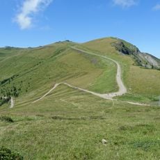
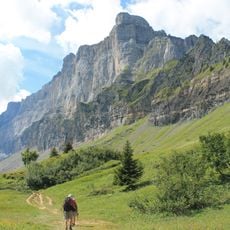
The lake is accessible via a marked hiking trail starting from Samoëns that takes several hours to reach. The summer months offer the best conditions for visiting when snow has melted and trails are fully passable.
The water level changes by roughly 2 meters across seasons, which means the shoreline looks different throughout the year. These natural fluctuations make each visit potentially reveal a different view of the lake's edges.
The community of curious travelers
AroundUs brings together thousands of curated places, local tips, and hidden gems, enriched daily by 92,786 contributors worldwide.