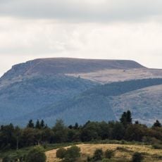
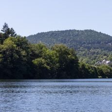
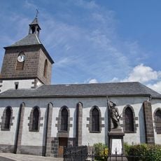
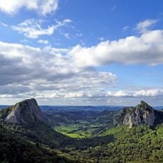
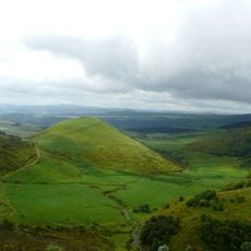
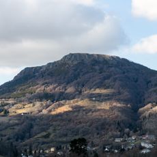
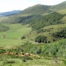
Lac de Servière, Volcanic lake in Orcival, France.
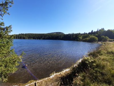
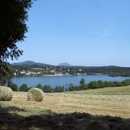
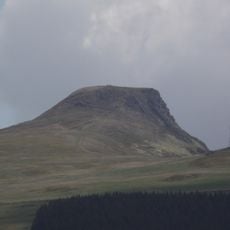
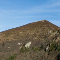
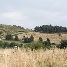
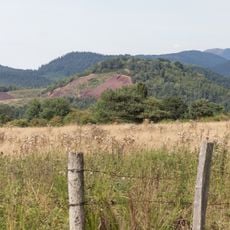
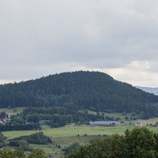
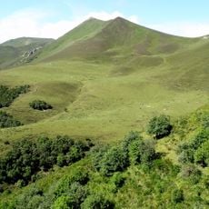
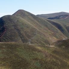
Lac de Servières is a near-circular maar in the Monts Dore, on the commune of Orcival at 1,202 m. It covers 15 hectares and reaches 26 m deep, far smaller than Lac Pavin. Abrupt walls rise to the south toward the puy de Combe Perret, while on the east the water laps the crater rim, where an overflow sometimes escapes. Larch and fir forests surround it.
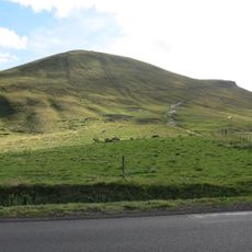
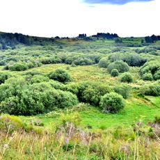
Lac de Servières is a maar formed by a phreatomagmatic eruption, when rising magma met groundwater and the flash vaporisation of the water caused an explosion that left a crater later filled with water. It is contemporary with the volcanoes of the Chaîne des Puys and is dated to less than 10,000 years ago. From the 13th to the 19th century, shepherds used the surrounding summer pastures, where aligned hollows mark the sites of tras, temporary burons with vegetated roofs.
The lake's name comes from the old term for summer shepherd huts, the tras, whose remains lie on the surrounding pastures. These turf-roofed burons were used from the 13th to the 19th century. Today the lake is strictly reserved for anglers, and swimming and boating are banned.
A waymarked path circles the lake in about 45 minutes, and two long-distance routes cross here: the GR 30 and the GR 441. Swimming and boating are forbidden, and the water is reserved for anglers, though the beach can be reached freely. The lake has belonged to the Puy-de-Dôme department since late 2019.
On the pastures beside the lake, rows of mysterious holes mark the sites of tras, shepherd huts with turf roofs used from the 13th to the 19th century. The lake itself belonged to a private fishing society for Michelin staff until the Puy-de-Dôme department bought it in late 2019.
The community of curious travelers
AroundUs brings together thousands of curated places, local tips, and hidden gems, enriched daily by 92,786 contributors worldwide.