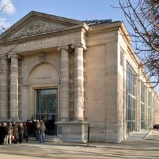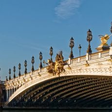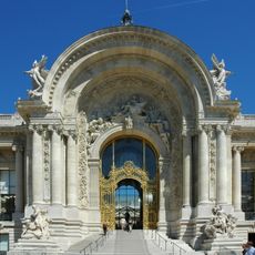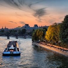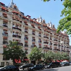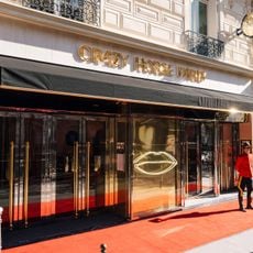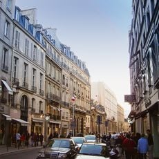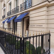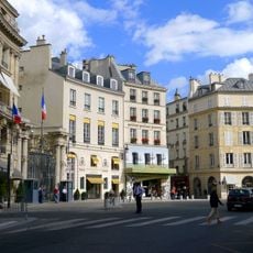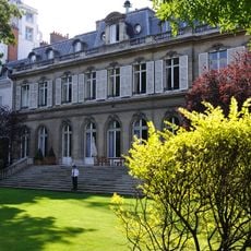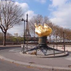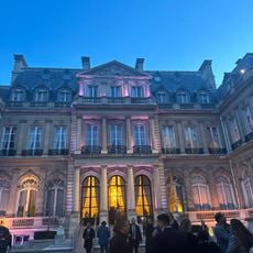
Quartier des Champs-Élysées, Administrative quarter in the 8th district of Paris, France.
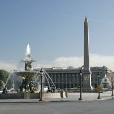
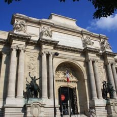
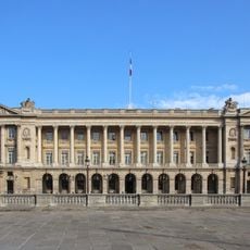
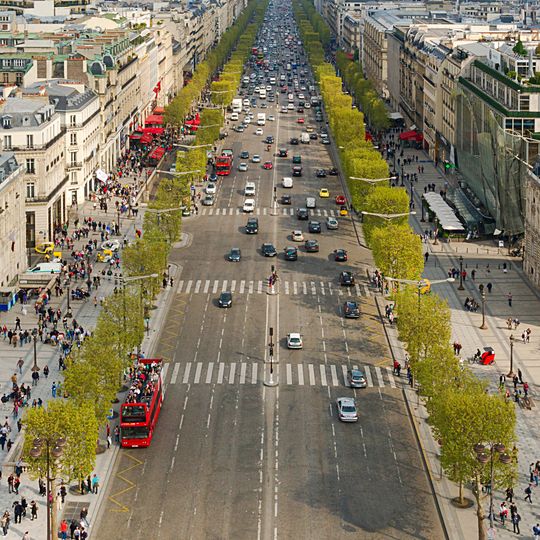
The Champs-Élysées district is the 29th administrative quarter of Paris, in the 8th arrondissement. It is bounded by the avenue des Champs-Élysées from place Charles-de-Gaulle to the rond-point Marcel-Dassault, by place de la Concorde to the east, the Seine to the south and avenue Marceau to the west. The avenue's north side between those two points belongs to the Faubourg-du-Roule quarter. The district includes the Grand Palais, the Petit Palais and the Luxor Obelisk on place de la Concorde.
The district took its current administrative form during Paris' major reorganization in the 1860s, when the city was reshaped with new boundaries and streets. This transformation created the urban layout that visitors see today.
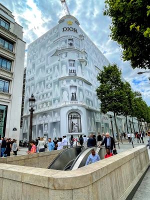
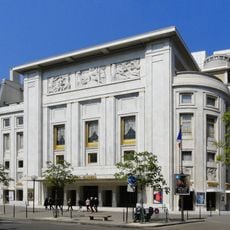
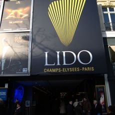
The avenue that gives the district its name is one of the world's most famous addresses, lined with luxury shops, historic cafes, and theaters that attract visitors from everywhere. People walk here to experience Parisian style and to be part of the endless flow of city life.
The district is easy to walk through and well-connected by metro stations that provide quick access from all directions. Wide sidewalks and clear street layouts make it straightforward to navigate and find different sites without detailed planning.
The district's boundaries were fixed in 1860, when Paris annexed its western suburbs and the quarter was reduced to the area south of the avenue. Its northern half, between place Charles-de-Gaulle and the rond-point Marcel-Dassault, belongs to the neighbouring Faubourg-du-Roule quarter. The district counted 4,610 inhabitants in 1999, the fewest in the 8th arrondissement, as many Haussmann-era homes became offices and shops.
The community of curious travelers
AroundUs brings together thousands of curated places, local tips, and hidden gems, enriched daily by 93,095 contributors worldwide.