Chest opened
+${chestReward.xp} XP
Explorer
NOUVEAU ×${chestReward.collectible.quantity}
tapez pour fermer
Chest locked

Open chests in the app

Around Us is built for your phone — chests unlock when you walk, explore and capture nearby places.

Enable Location

We need your location to show you interesting places around you

Discover nearby places

Find interesting locations and hidden gems around you

Precise directions

Get accurate directions and distances to places

Your location is never shared with other users. It's only used when you tap the location button.

Log in to your account

Start exploring — it's free

Trusted by 72,934 travelers worldwide

Continue with Google
Continue with Apple
or

We will send you a code to connect

By continuing, you accept our Terms and Conditions and our Privacy Policy

Check your inbox

We've sent a pincode in your inbox. Please enter the code below.

Aiguille Pourrie
Discussion Reviews Photo
40+ Popularity

Aiguille Pourrie, Mountain summit in Aiguilles Rouges massif, France

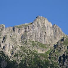
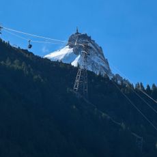
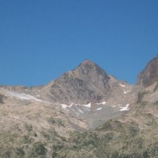
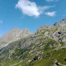
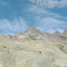
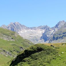
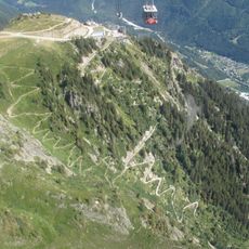
Aiguille Pourrie is a rocky summit in the Aiguilles Rouges massif that rises to 2,459 meters above sea level. The peak features a distinctive needle-shaped crest that makes it recognizable across the surrounding landscape.

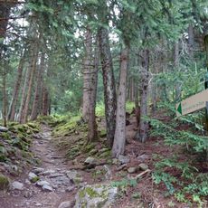
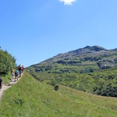
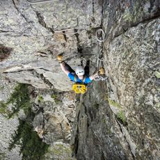
The area was explored and developed by mountaineers starting in the late 1800s, who mapped out different routes to the summit. These early expeditions helped establish the climbing paths still used today.

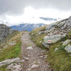
The name translates to 'Rotten Needle' and refers to the jagged rock structure at the summit, which reflects how local mountaineers describe peaks based on their physical appearance. Walkers notice this distinctive spiky shape as they climb higher.

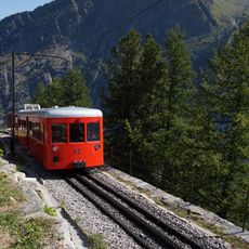
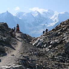
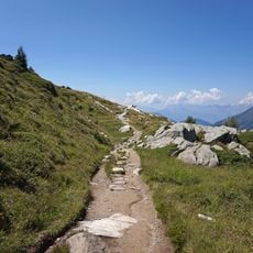
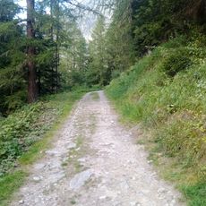
The climb is accessible from late spring through early autumn when weather conditions are most favorable and snow does not block the routes. Hikers need sturdy mountain boots and weather-appropriate clothing since conditions can change quickly at altitude.

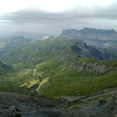
Despite being relatively modest in size, this summit attracts climbers who appreciate its unusual angular shape and the views it offers over surrounding valleys. The western approach reveals perspectives that differ noticeably from other vantage points in the range.

The community of curious travelers

AroundUs brings together thousands of curated places, local tips, and hidden gems, enriched daily by 60,000 contributors worldwide.

Start exploring
Elevation above the sea
2,459 m
GPS coordinates
45.95825,6.85803
Latest update
December 15, 2025 13:26
Reviews
Share your experience

No review yet

Discussions
Start a discussion...

No discussion yet

« Aiguille Pourrie - Mountain summit in Aiguilles Rouges massif, France » is provided by Around Us (aroundus.com). Images and texts are derived from Wikimedia project under a Creative Commons license. You are allowed to copy, distribute, and modify copies of this page, under the conditions set by the license, as long as this note is clearly visible.

Discover hidden gems everywhere you go!

From secret cafés to breathtaking viewpoints, skip the crowded tourist spots and find places that match your style. Our app makes it easy with voice search, smart filtering, route optimization, and insider tips from travelers worldwide. Download now for the complete mobile experience.

Around Us App Screenshot

A unique approach to discovering new places

Le Figaro

All the places worth exploring

France Info

A tailor-made excursion in just a few clicks

20 Minutes

Around Us
Travel Guide & Maps
Download

Send to your phone

QR Code
1

Open the camera app on your mobile.

2

Point at the QR code with your camera. A notification will appear.

3

Tap the notification to open the link.