
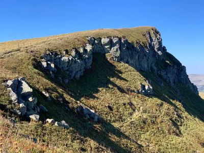
Puy de Cliergue, mountain in France
Location: Mont-Dore
Location: La Tour-d'Auvergne
Elevation above the sea: 1,691 m
GPS coordinates: 45.54309,2.80188
Latest update: April 7, 2025 23:44
Puy de Sancy
1.9 km
Vallée de Chaudefour
3.9 km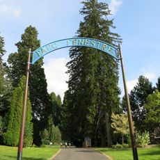
Tournitasses
6.3 km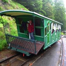
Funiculaire du Capucin
3.2 km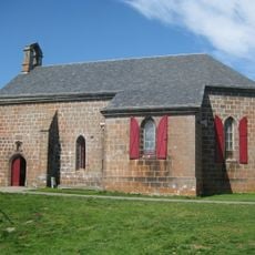
Chapelle Notre-Dame de Vassivière
6.4 km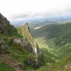
Réserve naturelle nationale de Chastreix-Sancy
3.5 km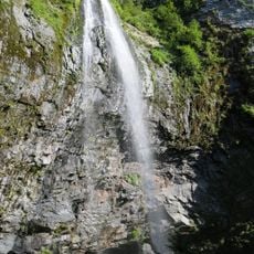
Cascades du Mont-Dore
4.6 km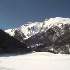
Puy Ferrand
2.8 km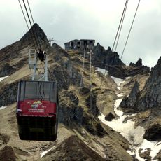
Téléphérique du puy de Sancy
976 m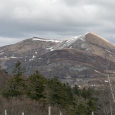
Puy de l'Angle
4.5 km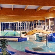
Pôle Aqualudique
6.6 km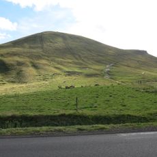
Puy de la Tache
6.4 km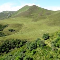
Puy de Barbier
4.9 km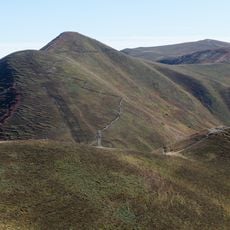
Puy de Monne
5.5 km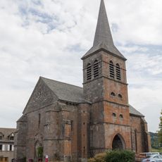
Église Saint-Bonnet de Chastreix
6.3 km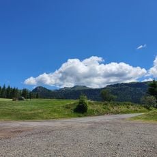
Golf du Mont-Dore
4.5 km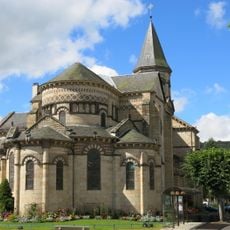
Église Saint-Joseph de La Bourboule
7 km
Town hall of La Bourboule
7 km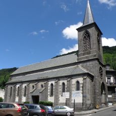
Saint-Pardoux church in Mont-Dore
3.6 km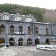
Spa house in Mont-Dore
3.5 km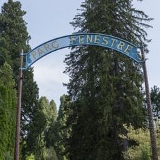
Parc Fenestre
6.8 km
Hôtel Le Sarciron
3.4 km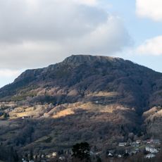
Puy Gros
6.3 km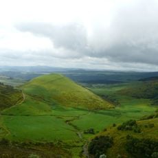
Puy Pouge
6.9 km
Puy de Cacadogne
2.2 km
Puy de Surains
5.5 km
Le Capucin
2 km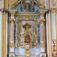
Retable de la Vierge à Chastreix
6.3 kmReviews
Visited this place? Tap the stars to rate it and share your experience / photos with the community! Try now! You can cancel it anytime.
Discover hidden gems everywhere you go!
From secret cafés to breathtaking viewpoints, skip the crowded tourist spots and find places that match your style. Our app makes it easy with voice search, smart filtering, route optimization, and insider tips from travelers worldwide. Download now for the complete mobile experience.

A unique approach to discovering new places❞
— Le Figaro
All the places worth exploring❞
— France Info
A tailor-made excursion in just a few clicks❞
— 20 Minutes