L'Alpette, Mountain summit in Chartreuse massif, France
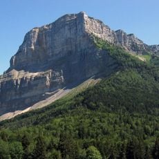
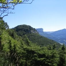
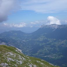
L'Alpette is a mountain summit in the Chartreuse range standing at 1640 meters elevation. The peak sits between the Granier and Pinet peaks and offers views across the surrounding alpine terrain.
The peak served as a reference marker for mapping expeditions when French surveyors began charting the Alps during the 18th century. Its position in the Chartreuse range made it a useful landmark for cartographers documenting the mountain chain.
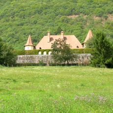
The peak connects with numerous hiking paths that lead to the national natural reserve of Hauts de Chartreuse, where traditional Alpine flora grows.
Hikers can reach this summit using marked trails that start from the La Plagne hamlet situated at 1096 meters and pass through forest paths. Moderate physical fitness is needed to complete the climb at a comfortable pace.
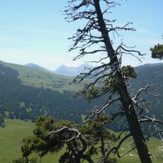
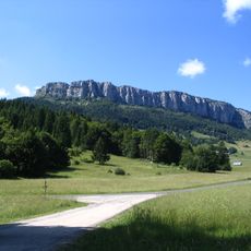
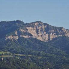
On clear days from the summit Mont Granier is plainly visible and the exposed rock layers tell the story of how these mountains were formed. The geological layers visible in the rock face reveal processes that shaped this range over millions of years.
The community of curious travelers
AroundUs brings together thousands of curated places, local tips, and hidden gems, enriched daily by 60,000 contributors worldwide.