
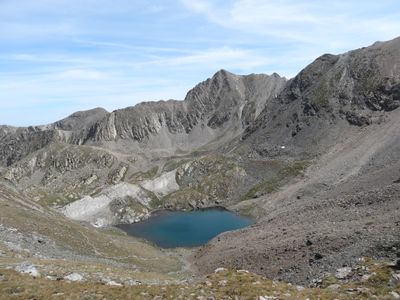
Estany Blau, lac des Pyrénées
Location: Pyrénées-Orientales
Elevation above the sea: 2,583.4 m
GPS coordinates: 42.42013,2.20195
Latest update: April 14, 2025 11:38
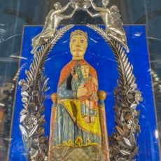
Virgin of Nuria
4.7 km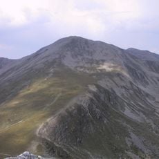
Bastiments
2.6 km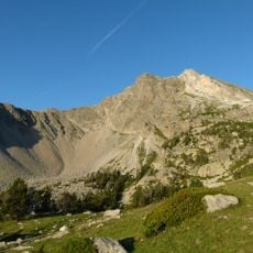
Gra de Fajol
3.8 km
Pic de l'Infern
1.1 km
Capçaleres del Ter i del Freser Natural Park
3.7 km
Pic de Noucreus
1.5 km
Torreneules
3.3 km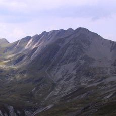
Pic de Freser
1.5 km
Pic d'Eina
3.7 km
Pic de Noufonts
2.9 km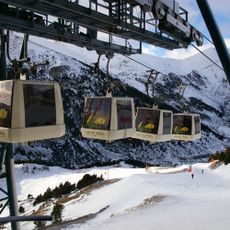
Telecabina de la Coma del Clot
4.6 km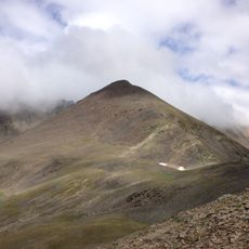
Puig de Fontnegra
2.5 km
Puig d'Ombriaga
4.3 km
Pic de la Fossa del Gegant
992 m
Les Borregues
4.6 km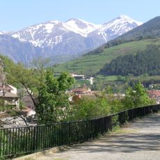
Coma del Clot
3 km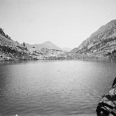
Étang de la Carança
3.1 km
Pic de l'Àliga
3.9 km
Torre d'Eina
4.8 km
Cap de Porc
4 km
Pic dels Bacivers de Prats
3.1 km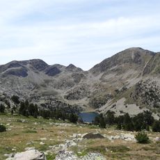
Pic de Racó Gros
1.8 km
Les Arques de Coma de Vaca
1.1 km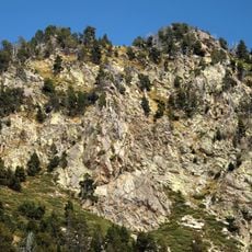
Puig dels Lladres
4.7 km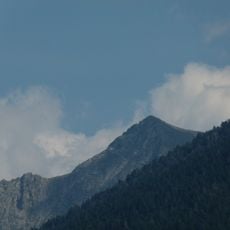
Pic Moneliet
3.2 km
Rocs Blancs
1.9 km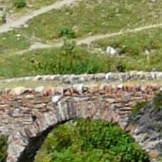
Pont de Mulleres
4.5 km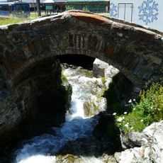
Pontet de Núria
4.6 kmReviews
Visited this place? Tap the stars to rate it and share your experience / photos with the community! Try now! You can cancel it anytime.
Discover hidden gems everywhere you go!
From secret cafés to breathtaking viewpoints, skip the crowded tourist spots and find places that match your style. Our app makes it easy with voice search, smart filtering, route optimization, and insider tips from travelers worldwide. Download now for the complete mobile experience.

A unique approach to discovering new places❞
— Le Figaro
All the places worth exploring❞
— France Info
A tailor-made excursion in just a few clicks❞
— 20 Minutes