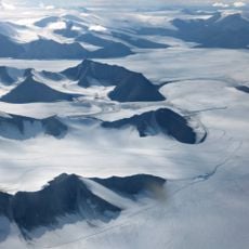
Gertrud Rask Land, Mountainous zone in Northeast Greenland National Park, Greenland.
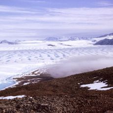
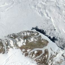
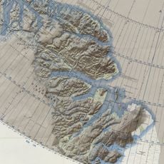
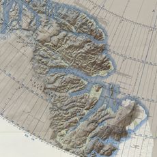
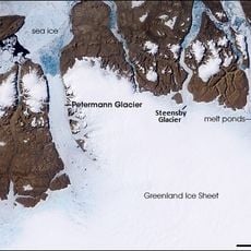
Gertrud Rask Land is a mountainous zone in the northeast section of Greenland's national park, consisting of deeply cut terrain with glaciers and steep slopes. The landscape spreads between two fjords and displays typical features of an Arctic highland region.
The territory was named in 1921 by a Danish expedition leader during a major exploration mission and subsequent documentation. This naming action was part of a broader project to map and document Greenland's northernmost regions.
The area is named after a woman connected to Greenland's early missionary period, reflecting historical ties between Denmark and this island region. The naming choice preserves memory of those who undertook expeditions into this remote territory.
Entering this region requires specialized equipment and thorough preparation since it sits in an extremely northern and isolated location. Visitors should expect extreme weather conditions and inform themselves about the best times to access the area.
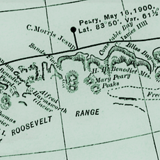
The territory sits between two major fjords and contains peaks of considerable height for such a high northern latitude. This location makes it a geographical junction point in one of the most far-north regions of the Arctic.
The community of curious travelers
AroundUs brings together thousands of curated places, local tips, and hidden gems, enriched daily by 60,000 contributors worldwide.