Taivalkoski, municipality in the region of Northern Ostrobothnia in Finland
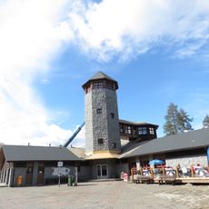
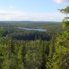
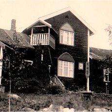
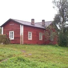
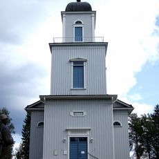
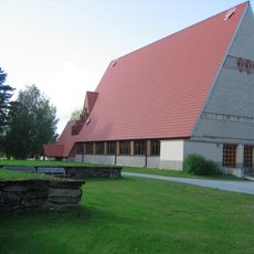
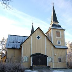
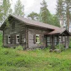
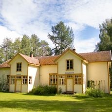
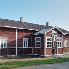
Taivalkoski is a small municipality in North Ostrobothnia surrounded by forests, lakes, and wetlands that form the landscape. The town has wooden buildings in traditional Finnish style and is laced with trails leading into the natural surroundings.
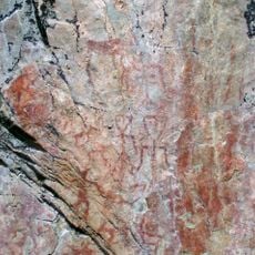
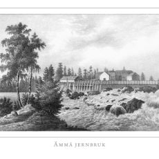
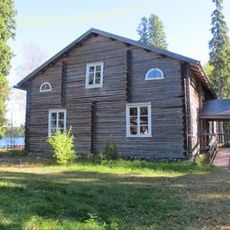
The area has been inhabited since the Stone Age, first by Sámi people and later by settlers from the south starting in the 16th century. Sawmills developed in the 19th and 20th centuries, and mining in modern times shaped the community's economic life.
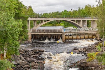
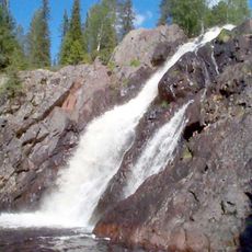
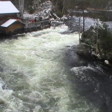
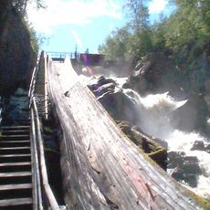
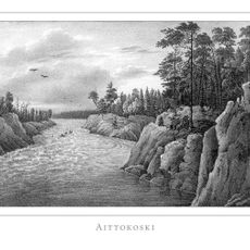
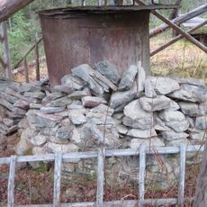
The name comes from a rapid in the river that was once impossible to navigate, shaping how people moved through the area. Today you can see how rural Finnish traditions remain part of daily life, with forestry, fishing, and crafts still visible in local gatherings and seasonal celebrations.
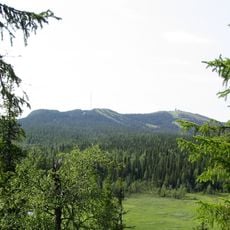
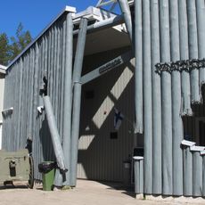
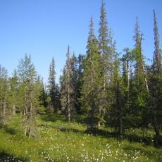
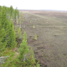
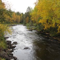
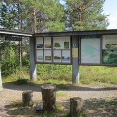
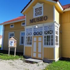
Visitors can explore trails on foot or skis leading through forests and to lakes, with different activities available throughout the year. Small museums and exhibitions in town offer insights into local history, while lodging ranges from simple hotels to holiday houses, and cafes and shops are found in the town center.
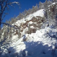
The name refers to a treacherous rapids that forced even experienced boat pilots to change routes or make long detours in earlier times. Visitors can stand at elevated viewpoints like Pyhitysvaara and Pahkakuru that overlook the river and the historical routes people once took.
The community of curious travelers
AroundUs brings together thousands of curated places, local tips, and hidden gems, enriched daily by 60,000 contributors worldwide.