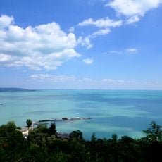
Káli-medence, Volcanic depression in Balaton Uplands National Park, Hungary
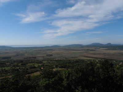
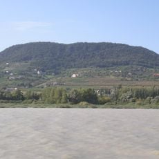
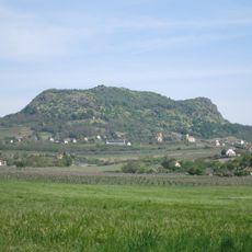
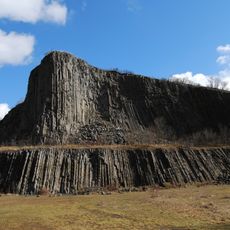
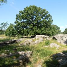
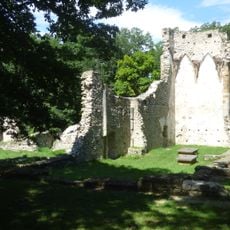
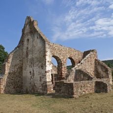
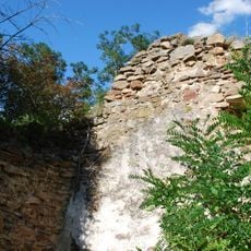
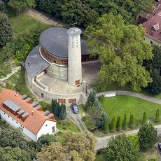
The Káli Basin is a volcanic depression in the Balaton Uplands, shaped by basalt cones, limestone ridges, and varied rock formations spread across the landscape. The terrain shows clear geological variety with slopes, flat areas, and agricultural fields connected by walking trails.
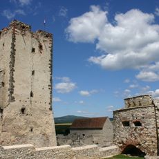
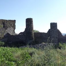
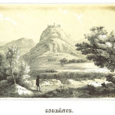
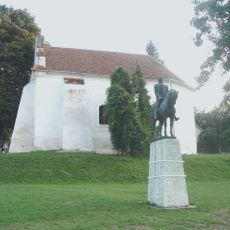
The region became protected in 1984 to safeguard its natural landscape and historical structures. This decision recognized the geological and cultural importance of the basin and its need for conservation.
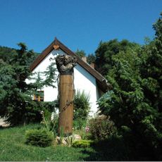
Vineyards shape the landscape, and traditional terracing patterns are visible throughout the agricultural areas where farming has been practiced for centuries. This farming landscape remains central to how locals relate to their land and its rhythms.
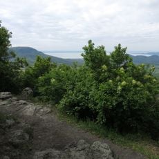
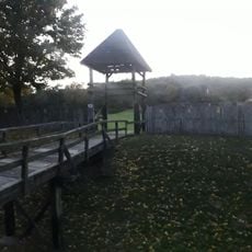
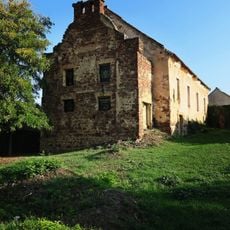
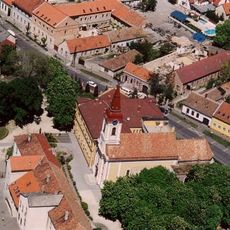
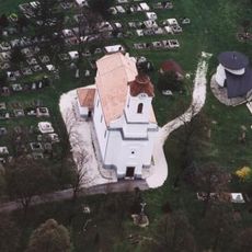
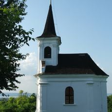
Marked walking trails connect different geological sites, wetlands, and historical structures, most easily reached on foot. A visitor center at Salföld is being developed to provide more information about the region.
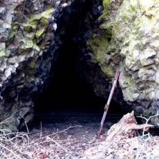
The Sásd meadows host one of Europe's largest populations of a rare alpine flower, while the rocky outcrops near Salföld were once quarried for millstones. These stones were shipped across the continent to mills that depended on them.
The community of curious travelers
AroundUs brings together thousands of curated places, local tips, and hidden gems, enriched daily by 60,000 contributors worldwide.