Enable Location

We need your location to show you interesting places around you

Discover nearby places

Find interesting locations and hidden gems around you

Precise directions

Get accurate directions and distances to places

Your location is never shared with other users. It's only used when you tap the location button.

Lough Ouler

Log in to your account

Start exploring — it's free

Trusted by 62,492 travelers worldwide

Continue with Google
Continue with Apple
or

We will send you a code to connect

By continuing, you accept our Terms and Conditions and our Privacy Policy

Check your inbox

We've sent a pincode in your inbox. Please enter the code below.

Lough Ouler

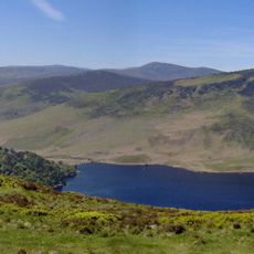
Lough Ouler, Natural lake in County Wicklow, Ireland.

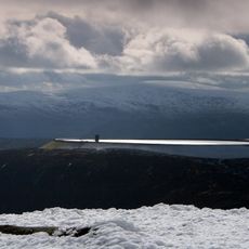
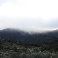
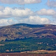
Lough Ouler is a heart-shaped mountain lake nestled at about 817 meters elevation on the slopes of Tonelagee in County Wicklow. The water sits in a glacial basin surrounded by steep mountain walls that define the narrow valley.

The lake formed during the last ice age when glacial movement carved out a depression in the mountainside, creating the water body we see today. This glacial landscape formation is a defining feature of the Wicklow Mountains' postglacial geology.

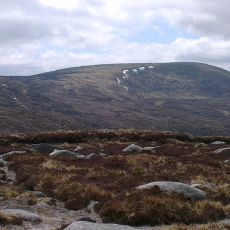
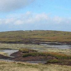
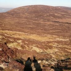
Local hiking enthusiasts maintain several unmarked trails leading to Lough Ouler, preserving the natural state of the mountain paths.

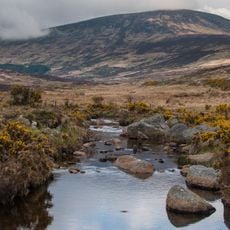
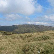
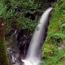
The lake can be reached via two hiking routes: a 4-kilometer path up Tonelagee or an 8-kilometer circular trail starting from Glenmacnass Waterfall. Both routes are walkable in good weather, though mountain conditions can change quickly at elevation.

The lake's water displays surface patterns created by natural currents that are particularly visible from the mountain viewpoints surrounding the basin. These details often go unnoticed by visitors but become striking once you pause to watch the water closely.

The community of curious travelers

AroundUs brings together thousands of curated places, local tips, and hidden gems, enriched daily by 60,000 contributors worldwide.

Start exploring
Location
GPS coordinates
53.05639,-6.37500
Latest update
December 6, 2025 19:07
Natural landscapes and historic sites in Ireland

Ireland presents a range of natural landscapes and historic sites spread across the entire country. This collection guides you to coastal cliffs, mountain ranges, medieval castles, and lighthouses that reflect Ireland's history and natural environment. You will explore places like Glendalough Valley...

« Lough Ouler - Natural lake in County Wicklow, Ireland » is provided by Around Us (aroundus.com). Images and texts are derived from Wikimedia project under a Creative Commons license. You are allowed to copy, distribute, and modify copies of this page, under the conditions set by the license, as long as this note is clearly visible.

Discover hidden gems everywhere you go!

From secret cafés to breathtaking viewpoints, skip the crowded tourist spots and find places that match your style. Our app makes it easy with voice search, smart filtering, route optimization, and insider tips from travelers worldwide. Download now for the complete mobile experience.

Around Us App Screenshot

A unique approach to discovering new places

Le Figaro

All the places worth exploring

France Info

A tailor-made excursion in just a few clicks

20 Minutes

Around Us
Travel Guide & Maps
Download

Send to your phone

QR Code
1

Open the camera app on your mobile.

2

Point at the QR code with your camera. A notification will appear.

3

Tap the notification to open the link.