Silsean, Mountain summit in County Wicklow, Ireland
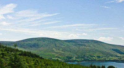
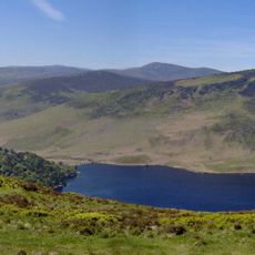
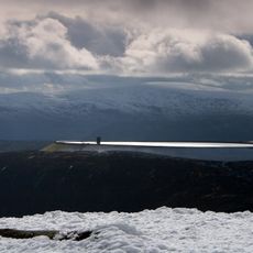
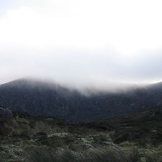
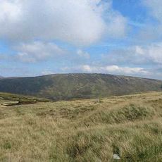
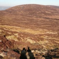
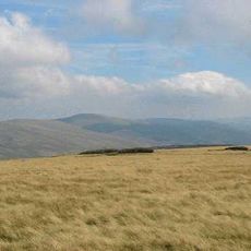
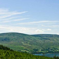
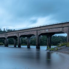
Silsean is a mountain summit in County Wicklow that rises to about 698 meters above sea level, with granite formations across its slopes. From the top you can see across the Blessington Lakes and over the western areas below.
The name comes from the Irish word Soillsean, which refers to the mountain's historical role as a guiding landmark for travelers. For a long time it served as a key navigation point across Wicklow's mountainous terrain.
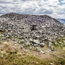
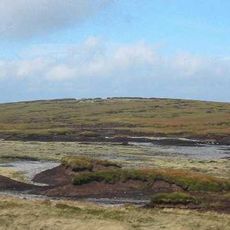
The name comes from Irish origins and reflects how locals have used this peak as a landmark for generations. Walking groups in the area maintain traditional routes through the surrounding woods that lead to the distinctive stone cairn crowning the summit.
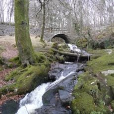
The climb takes roughly 1.5 hours using marked trails, though several different routes run through the forest. Parking is available near Garryknock Woods at the mountain's base, where most walks start.
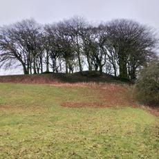
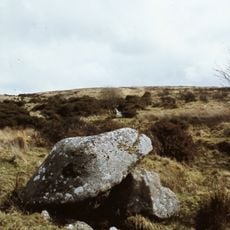
The summit is crowned with a distinctive stone cairn that hikers have long used as a visual marker. This structure can be spotted from a distance and helps many people find their way across the surrounding hillside.
The community of curious travelers
AroundUs brings together thousands of curated places, local tips, and hidden gems, enriched daily by 60,000 contributors worldwide.