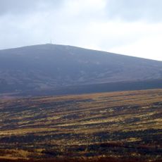
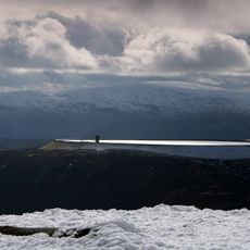
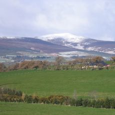
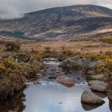
Mullaghcleevaun, Mountain peak in County Wicklow, Ireland.
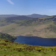
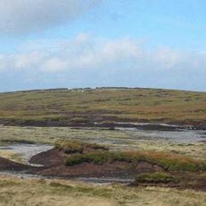
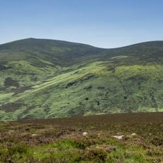
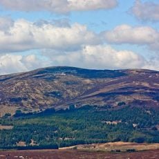
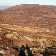
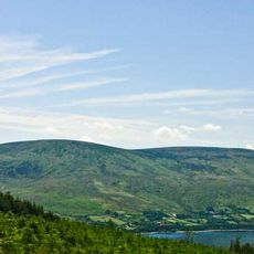
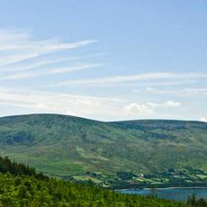
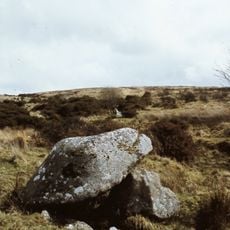
Mullaghcleevaun is a mountain peak in the Wicklow Mountains, County Wicklow, Ireland, and one of the highest points in the country. Its upper slopes are made of granite, and the terrain becomes increasingly open and rocky as the ground cover thins out toward the top.
The name Mullaghcleevaun derives from the Irish Mullach Cliabháin, meaning "summit of the cradle/basket". The Irish academic Paul Tempan cites Patrick Weston Joyce, who linked the name to a cradle-like depression near the top, presumably the hollow holding Cleevaun Lough. The peak appears in the Arderin and Vandeleur-Lynam scales of Irish summits, ranked 15th and 20th respectively.
The name Mullaghcleevaun derives from the Irish Mullach Cliabháin, meaning "summit of the cradle/basket". Irish academic Paul Tempan cites Patrick Weston Joyce, who linked the name to a cradle-like depression near the top, presumably the hollow holding Cleevaun Lough. The lake lies at 686 metres, Wicklow's highest natural lake.
There are no marked paths to the summit. The most common route starts from a small car park below Carraigshouk, known locally as "The Oasis", just off the R115 Old Military Road; the walk to the top via Mullaghcleevaun East Top is 8.5 km and takes 3–4 hours. A similar route begins at the car park at Ballynultagh Gap to the north.
A small lake sits in a green hollow just below the summit and is among the highest-lying bodies of water in the region. Many hikers heading straight for the top miss it on the way up and only notice it on the descent.
The community of curious travelers
AroundUs brings together thousands of curated places, local tips, and hidden gems, enriched daily by 92,739 contributors worldwide.