Tonelagee, Mountain summit in County Wicklow, Ireland.
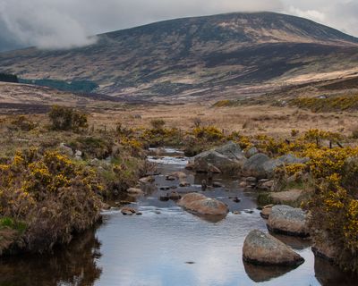
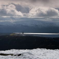
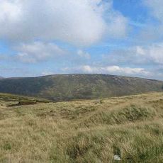
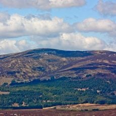
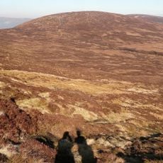
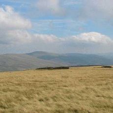
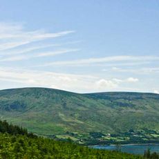
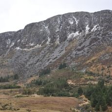
Tonelagee is a mountain summit in the Wicklow Mountains with a height of about 816 meters and is one of the highest peaks in the region. The mountain features steep granite slopes and is marked by a distinctive valley and cliffs that overlook a lake below.
The mountain was documented by naturalists in the 1890s, who described its distinctive features including a crater-like valley and cliffsides. These early records show that the location has long been a point of interest for exploring the mountain landscape.
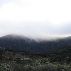
The name reflects how local people traditionally described this place based on its windswept location and exposed terrain. Visitors notice this connection between the name and the raw conditions at the summit.
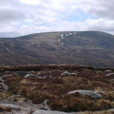
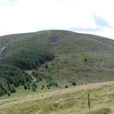
Hikers can reach the summit through several different trails from nearby car parks and mountain passes. Winter visits require extra preparation due to potentially snow-covered paths and slippery conditions.
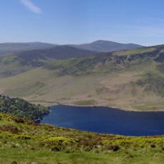
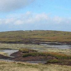
Below the summit sits Lough Ouler, a heart-shaped lake that becomes visible from the higher elevations and gives the area a distinctive geographical feature. This natural formation makes the surroundings visually recognizable for hikers exploring the region.
The community of curious travelers
AroundUs brings together thousands of curated places, local tips, and hidden gems, enriched daily by 60,000 contributors worldwide.