Camaderry, Mountain summit in County Wicklow, Ireland.
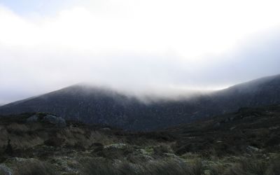
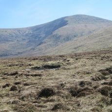
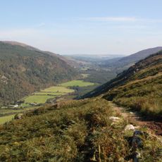
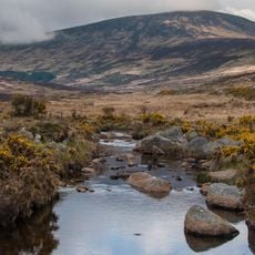
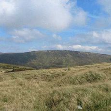
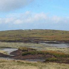
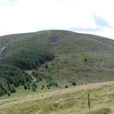
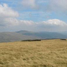
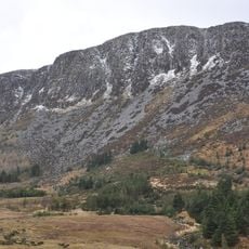
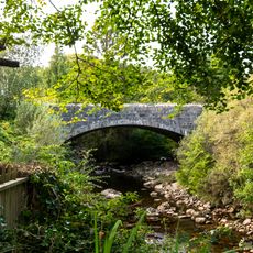
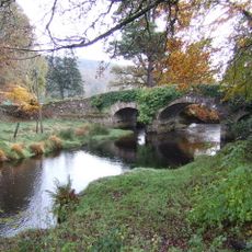
Camaderry is a mountain summit at 699 meters that forms a broad curve around the Glendalough valley with steep slopes and granite rock formations. The terrain varies across different sections, moving from moorland to rocky ridges and back down through passes.
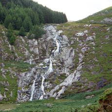
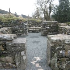
Mining operations extracted lead and silver from the Luganure mineral vein from the 18th century until final closure in 1957. An extensive tunnel network beneath the mountain shows the scale of this industrial activity.
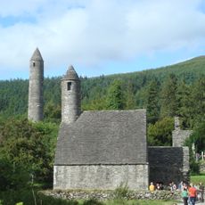
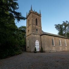
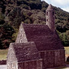
The Irish name Sliabh Cham an Doire means 'step of the oak-wood', reflecting the natural features of the landscape. Visitors can still see traces of these ancient woodlands scattered across the valleys and slopes around the mountain.
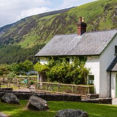
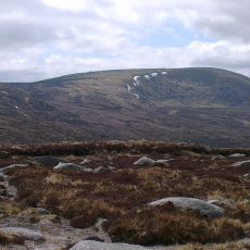
Parking areas near Glendalough Lake and Wicklow Gap serve as starting points for different hiking routes to the summit. Weather can change quickly, so warm and waterproof clothing is advisable.
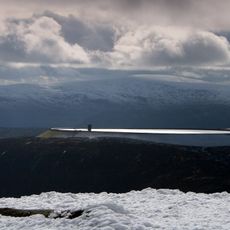
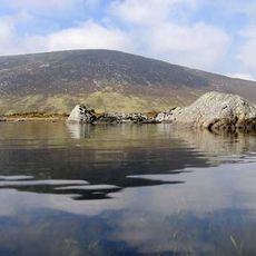
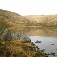
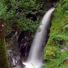
Between Camaderry's northern face and Turlough Hill lies Lough Nahanagan, a deep glacial lake carved out during the ice age. The lake attracts hikers with its sheltered setting and offers a calm contrast to the surrounding rocky terrain.
The community of curious travelers
AroundUs brings together thousands of curated places, local tips, and hidden gems, enriched daily by 60,000 contributors worldwide.