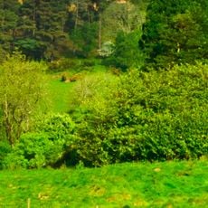
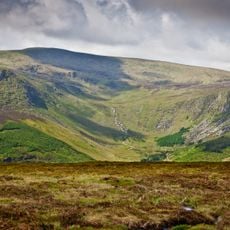
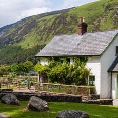
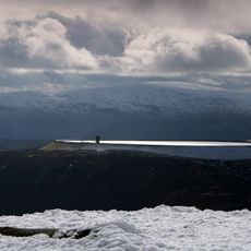
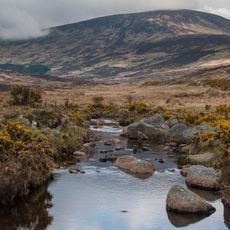
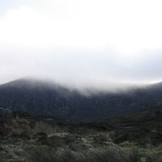
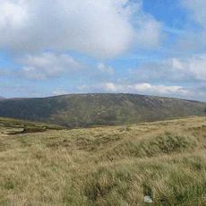
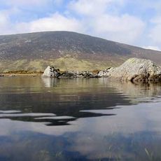
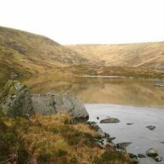
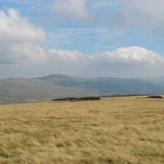
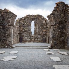
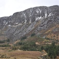
Glenmalure, U-shaped glacial valley in County Wicklow, Ireland.
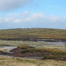
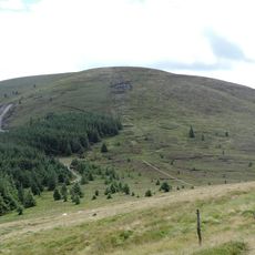
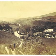
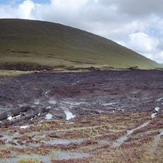
Glenmalure is a 20-kilometre U-shaped glacial valley in the southern Wicklow Mountains, running northwest to southeast. Its western flank is dominated by the Lugnaquilla massif at 925 metres, while the eastern walls rise to Lugduff (652 m) and Mullacor (657 m). The valley floor holds cross-valley and lateral moraines, and the head is enclosed by a boggy horseshoe of Camenabologue, Table Mountain and Conavalla.
The valley witnessed a major battle in 1580 when Irish forces defeated an invading English army in dramatic fashion. This victory became a pivotal moment in Irish resistance and remains central to the valley's historical identity.
The valley has long served as a gathering point for hikers and mountain enthusiasts who share a deep connection to the landscape. This tradition shapes how visitors experience and value the place today.
Several marked hiking trails run through the valley and connect it to surrounding peaks, including routes to Lugnaquilla mountain. Visitors have multiple entry and exit points depending on their fitness level and desired destination.
Glenmalure is one of the longest glacial valleys in Ireland, running 20 kilometres from northwest to southeast. Its floor carries cross-valley and lateral moraines left by the last ice age, and hanging valleys such as Fraughan Rock Glen feed into it. The bedrock is late-Caledonian Leinster Granite of the Lugnaquillia Pluton, cut by quartz veins bearing lead and zinc.
The community of curious travelers
AroundUs brings together thousands of curated places, local tips, and hidden gems, enriched daily by 93,869 contributors worldwide.