Enable Location

We need your location to show you interesting places around you

Discover nearby places

Find interesting locations and hidden gems around you

Precise directions

Get accurate directions and distances to places

Your location is never shared with other users. It's only used when you tap the location button.

Corrigasleggaun

Log in to your account

Save your favorite places
Create custom travel routes
Rate and review places
Access the full interactive map
Continue with Google
Continue with Apple
Continue with email
By continuing, you accept our Terms and Conditions and our Privacy Policy
Create an account

Corrigasleggaun

Add to collection
Map
Suggest a change
Share

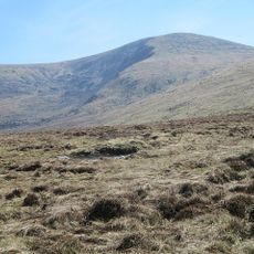
Corrigasleggaun, Mountain summit in County Wicklow, Ireland.

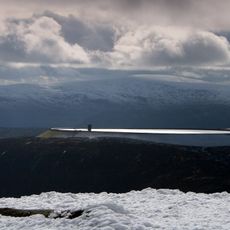
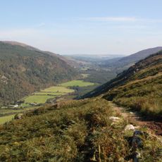
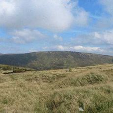
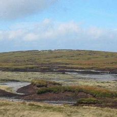
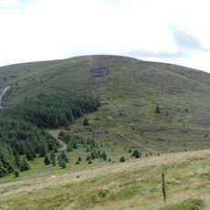
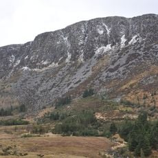
Corrigasleggaun is a granite peak reaching about 790 meters in the southwestern Wicklow Mountains, forming part of the Lugnaquilla massif. The summit is marked by a stone cairn and sits above rolling slopes that descend toward surrounding valleys.

The peak has been known since early Irish times as Carraig na Sliogán, a name reflecting the distinctive rock formations visible across this landscape. For centuries, herders and travelers used this area as part of established routes through the mountains.

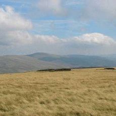
Local mountaineers use this summit as part of traditional climbing routes through the Wicklow range, connecting modern visitors with the region's long tradition of hill walking. The peak serves as a waypoint in seasonal expeditions that draw walkers from across Ireland.

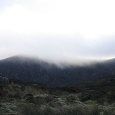
Climbers should carry detailed maps and navigation tools since the summit can be hard to locate in poor visibility and trails are not clearly marked. Weather conditions change rapidly and winds are often strong, so proper mountain gear is important for safety.

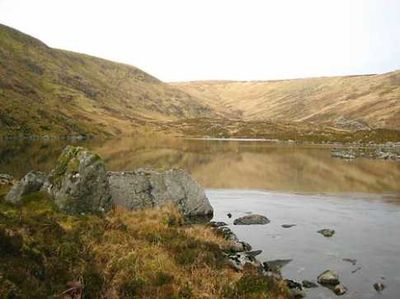
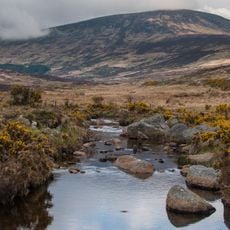
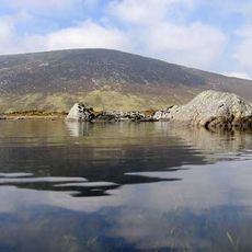
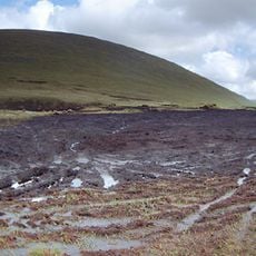
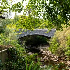
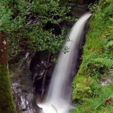
Kelly's Lough, a glacial lake in a rocky corrie near the peak, sits in a dramatic mountain hollow that many hikers pass without noticing. The mountain also marks the source of the Carrawaystick River, which flows down the eastern slopes and cuts through the landscape below.

Location: County Wicklow

Elevation above the sea: 794 m

GPS coordinates: 52.96062,-6.44126

Latest update: December 14, 2025 16:47

Photos
Reviews

Visited this place? Tap the stars to rate it and share your experience / photos with the community! Try now! You can cancel it anytime.

« Corrigasleggaun - Mountain summit in County Wicklow, Ireland » is provided by Around Us (aroundus.com). Images and texts are derived from Wikimedia project under a Creative Commons license. You are allowed to copy, distribute, and modify copies of this page, under the conditions set by the license, as long as this note is clearly visible.

Discover hidden gems everywhere you go!

From secret cafés to breathtaking viewpoints, skip the crowded tourist spots and find places that match your style. Our app makes it easy with voice search, smart filtering, route optimization, and insider tips from travelers worldwide. Download now for the complete mobile experience.

Around Us App Screenshot

A unique approach to discovering new places

Le Figaro

All the places worth exploring

France Info

A tailor-made excursion in just a few clicks

20 Minutes