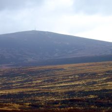
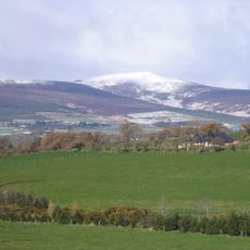
War Hill, Mountain summit in County Wicklow, Ireland
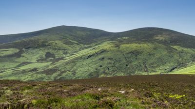
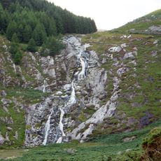
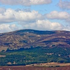
War Hill is a granite summit in County Wicklow that rises above 680 meters and connects to neighboring peaks through walking paths. The granite formations shape the landscape and offer various hiking routes.
In 1838, Irish scholar Eugene O'Curry documented a battle between English forces and the O'Toole clan near this location. This event connects the place to military conflicts of the past.
The mountain carries both English and Irish names, with its Irish designation Cnoc an Bhairr reflecting the region's linguistic heritage. This dual naming reveals how language shaped local identity over generations.
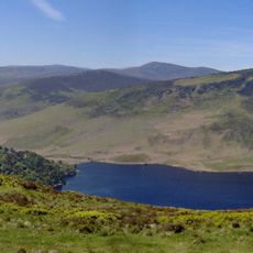
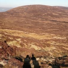
Hikers can start from the Ballinastoe Wood car park and follow a circuit route that also leads to neighboring peaks. The paths are marked and allow for various route lengths depending on experience and available time.
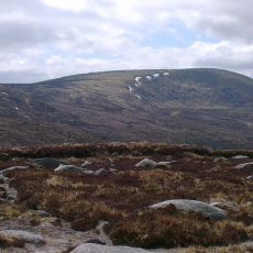
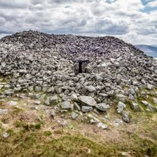
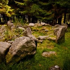
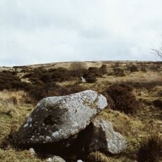
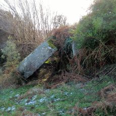
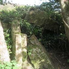
Between this peak and neighboring Djouce stands the Coffin Stone, a granite formation marked on historical maps of the Wicklow mountains. This rock formation is unknown to many hikers even though it sits along their path.
The community of curious travelers
AroundUs brings together thousands of curated places, local tips, and hidden gems, enriched daily by 60,000 contributors worldwide.