Hittin, historic Palestinian village, the site of the Battle of Hattin in 1187, replaced in 1949–1950 by two Jewish Israeli villages
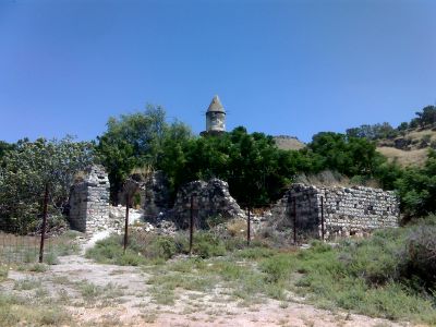
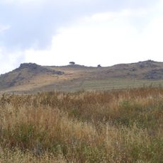
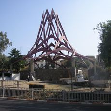
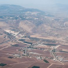
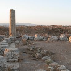
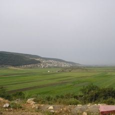
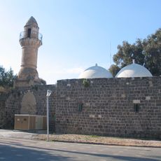
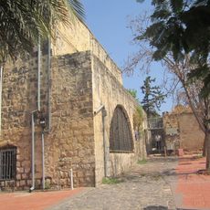
Hittin is a depopulated Palestinian village at the foot of Mount Hittin in Galilee, Israel, where stone ruins remain scattered across flat land. The mountain above the site has two distinct peaks that give it the local name the Horns of Hattin.
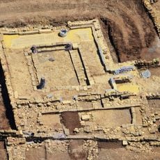
The site was already settled in ancient times and was known as Kfar Hittaya during the Roman period, suggesting a long history of occupation in the area. In 1187, the nearby battlefield saw one of the most decisive moments of the Crusader era, when Saladin defeated the Crusader army and changed control of the region.
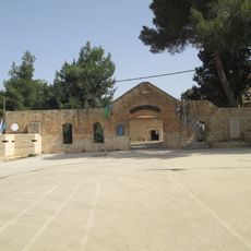
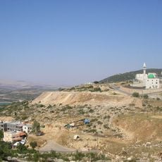
The shrine of Prophet Shuayb on the hillside remains a sacred place where Druze and Muslim pilgrims gather each year to pray and pay respects. This site shows how the area held religious meaning across different communities for many centuries.
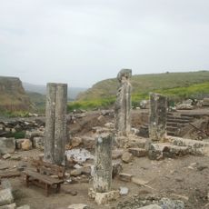
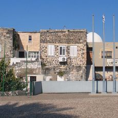
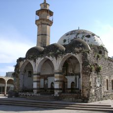
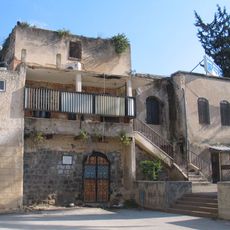
The site today is covered with grass and trees, and the minaret of the old mosque still stands but is in poor condition. The ground is uneven throughout, so solid footwear is recommended and visitors should not expect marked paths or facilities.
Historical records from 1596 show that the village produced honey alongside wheat and barley, which was uncommon for farming communities of that size in the region. This suggests that villagers made use of the springs and local plants in ways that went beyond basic crop farming.
The community of curious travelers
AroundUs brings together thousands of curated places, local tips, and hidden gems, enriched daily by 60,000 contributors worldwide.