
Giv'at Alil, mountain in Israel
Location: Northern District
Part of: Lower Galilee
GPS coordinates: 32.77167,35.15472
Latest update: September 6, 2025 23:36
Beit She'arim National Park
7.9 km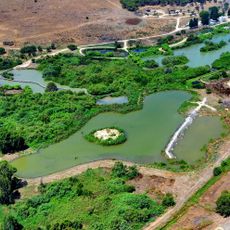
Ein Afek Nature Reserve
9.2 km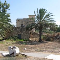
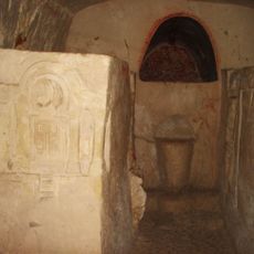
Tel Afek
9.2 km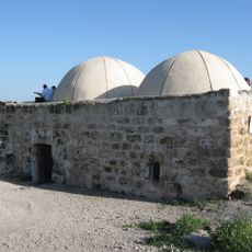
Sheikh Bureik, Lajjun
8.2 km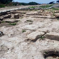
Usha
3.2 km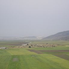
Ma'agar Bet Netofa
9.2 km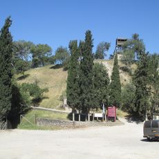
Shimron
9.3 km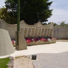
Bedouin Soldiers Memorial
8.4 km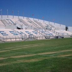
Nesher Municipal Stadium
9.4 km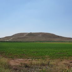
Tel Hanaton
9.6 km
Northern Theatre
9.4 km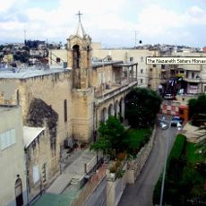
Sisters of Nazareth convent – Shefa-Amr
4 km
Yiftahel
7.1 km
Shfaram synagogue
4.1 km
Kishon – The Valleys Park
7.5 km
Haifa Muslim Cemetery in Nesher
9.6 km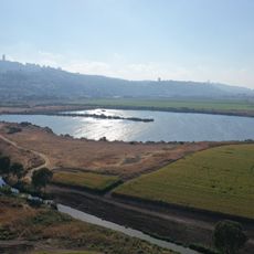
Nesher Lakes Park
7.9 km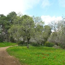
Alonei Abba nature reserve
4 km
Rabbit Village at Neger Farm
5.5 km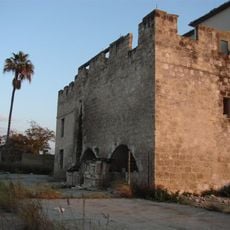
Ramat Yishay Khan
7.4 km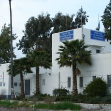
Nahalal Police Station
8.4 km
Shemurat Tel Shimron
9.4 km
Khirbet Sharta
4.8 km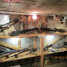
הסליק ברמת יוחנן
3.8 km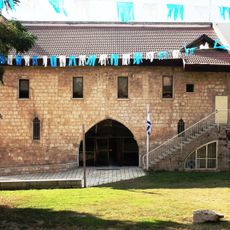
Fischer House
5.9 km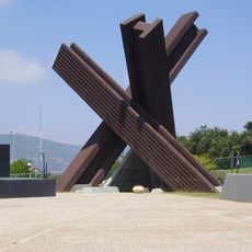
אנדרטת יד לבנים לחללי קריית טבעון
7.1 km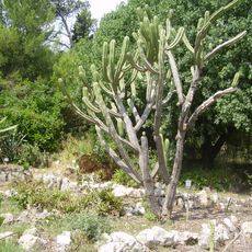
Botanical garden, Oranim
7.8 km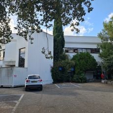
Kiryat Tiv'on municipal library
7.1 kmReviews
Visited this place? Tap the stars to rate it and share your experience / photos with the community! Try now! You can cancel it anytime.
Discover hidden gems everywhere you go!
From secret cafés to breathtaking viewpoints, skip the crowded tourist spots and find places that match your style. Our app makes it easy with voice search, smart filtering, route optimization, and insider tips from travelers worldwide. Download now for the complete mobile experience.

A unique approach to discovering new places❞
— Le Figaro
All the places worth exploring❞
— France Info
A tailor-made excursion in just a few clicks❞
— 20 Minutes