Chest opened
+${chestReward.xp} XP
Explorer
NOUVEAU ×${chestReward.collectible.quantity}
tapez pour fermer

See the monuments around you in AR Open chests in the app

Around Us is built for your phone — point your camera at the streets and discover the monuments and places around you in augmented reality. Around Us is built for your phone — chests unlock when you walk, explore and capture nearby places.

•

Enable Location

We need your location to show you interesting places around you

Discover nearby places

Find interesting locations and hidden gems around you

Precise directions

Get accurate directions and distances to places

Your location is never shared with other users. It's only used when you tap the location button.

Tur Shimon

Log in to your account

Start exploring — it's free

Trusted by 93,907 travelers worldwide

Continue with Google
Continue with Apple
or

We will send you a code to connect

By continuing, you accept our Terms and Conditions and our Privacy Policy

Check your inbox

We've sent a pincode in your inbox. Please enter the code below.

Tur Shimon

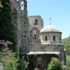
Tur Shimon, Archaeological site in Judean Hills, Israel

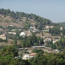
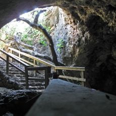
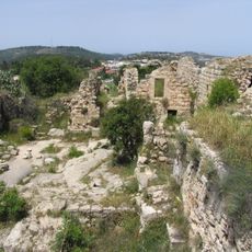
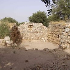
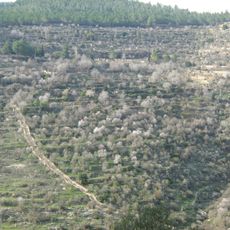
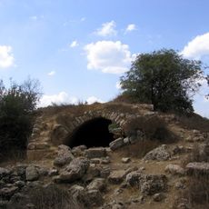
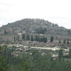
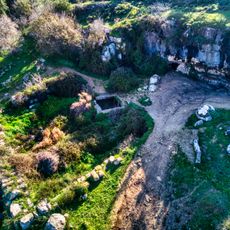
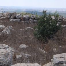
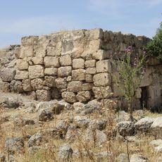
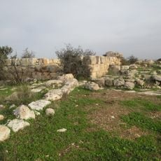
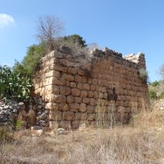
Tur Shimon is an archaeological site in Nahal Sorek, Israel, sitting 595 metres above sea level on a conical hill that rises from the riverbed. Its top holds ashlars, a partially standing field-stone wall, razed structures, six plastered rock-cut reservoirs and pottery fragments. A tunnel of about 80 metres on the northeastern slope ends in a rock-hewn pit with niches.

The site was first settled in the 2nd century before the common era and remained inhabited through Hellenistic and Roman times. Archaeological investigations in the 1990s documented these occupation phases by studying pottery and architectural remains.

Rabbinic literature links the site's Hebrew name Tur Shimon to Shimon, and the Jerusalem Talmud (Ta'anit 4:5) and Lamentations Rabbah (2:5) both mention the town. The same lore says its inhabitants set out 300 sealed jars of summer produce every Friday, and explains its destruction by lechery or by playing ball on the Sabbath.

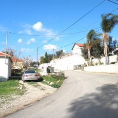
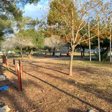
Access is mainly from the southern slope via footpaths branching from regional highway 3866 near Moshav Nes Harim. Visitors should bring sturdy shoes and water since the climb is steep and exposed to sun.

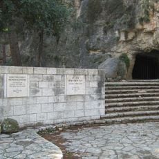
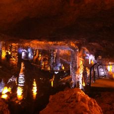
The 80-metre tunnel on the northeastern slope ends in a rock-hewn pit with niches resembling a columbarium, likely for doves. On the southwest slope lie a second rock-cut columbarium, a lime pit, a cistern and a wine press. Lt. Conder in 1881 recorded a hilltop foundation 23 by 16 feet and a cistern 12 feet deep.

The community of curious travelers

AroundUs brings together thousands of curated places, local tips, and hidden gems, enriched daily by 93,907 contributors worldwide.

Start exploring
GPS coordinates
31.75530,35.06119
Latest update
October 25, 2026 04:18
Reviews
Share your experience

No review yet

Discussions
Start a discussion...

No discussion yet

« Tur Shimon - Archaeological site in Judean Hills, Israel » is provided by Around Us (aroundus.com). Images and texts are derived from Wikimedia project under a Creative Commons license. You are allowed to copy, distribute, and modify copies of this page, under the conditions set by the license, as long as this note is clearly visible.

Discover hidden gems everywhere you go!

From secret cafés to breathtaking viewpoints, skip the crowded tourist spots and find places that match your style. Our app makes it easy with voice search, smart filtering, route optimization, and insider tips from travelers worldwide. Download now for the complete mobile experience.
Around Us App Screenshot
❝

A unique approach to discovering new places❞

— Le Figaro

❝

All the places worth exploring❞

— France Info

❝

A tailor-made excursion in just a few clicks❞

— 20 Minutes

Around Us
Travel Guide & Maps
Download

Send to your phone

QR Code
1

Open the camera app on your mobile.

2

Point at the QR code with your camera. A notification will appear.

3

Tap the notification to open the link.